NYC Airport Boundaries
Boundary outlines of airports in New York City, mapped as polygon features. Each record includes the airport name and website. Sourced from the NYC Department of City Planning.
| Namebrand | Websitewebsite | The Geomgeospatial | Geoserver quantity | Shape Areaquantity | Shape Lenquantity |
|---|---|---|---|---|---|
| John F. Kennedy International Airport | http://www.panynj.gov/CommutingTravel/airports/htm | MULTIPOLYGON (((-73.82259729356541 40.653735660287 | 97393969.0286 | 0 | 0 |
| La Guardia Airport | http://www.panynj.gov/CommutingTravel/airports/htm | MULTIPOLYGON (((-73.86892929856981 40.775286189863 | 17879876.6217 | 0 | 0 |
Cargo Insurer Exposure Mapping
A commercial property insurer underwriting cargo or ground-handling operations at New York airports overlays the airport boundary polygons against their existing policy locations to identify which insured facilities fall within or adjacent to airport grounds, helping assess concentration risk in a single catastrophic event scenario.
Freight and Logistics Sales Territory Scoping
A freight brokerage building a prospecting list for air cargo customers uses the boundary geometry to identify all businesses registered within a defined radius of each airport, prioritizing outreach to companies whose physical operations suggest import or export activity.
KYB Address Verification for Airport-Adjacent Entities
A fintech platform onboarding a business that lists an airport address as its operating location cross-references the airport boundary polygons to confirm whether the submitted address actually falls within a known airport perimeter, flagging mismatches that may indicate a fictitious or mail-drop address.
 NYC Airport LocationsCity of New York
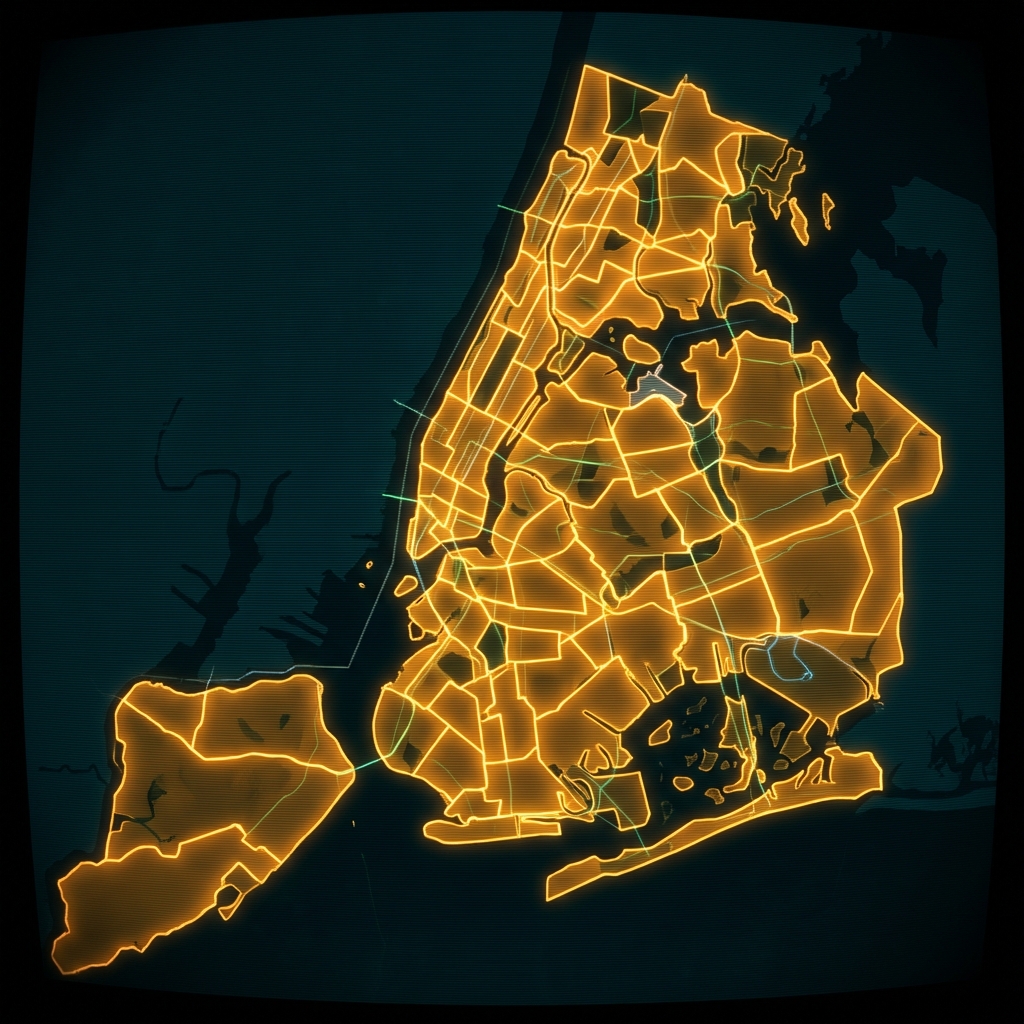 Cable Franchise TerritoriesCity of New York
 Designated and Calendared Buildings and SitesCity of New York
 Resource Map (Department of Veterans' Services)City of New York
 School LocationsCity of New York
 Business Improvement DistrictsCity of New York
 Avenue NYC
 DOB Permit IssuanceCity of New York
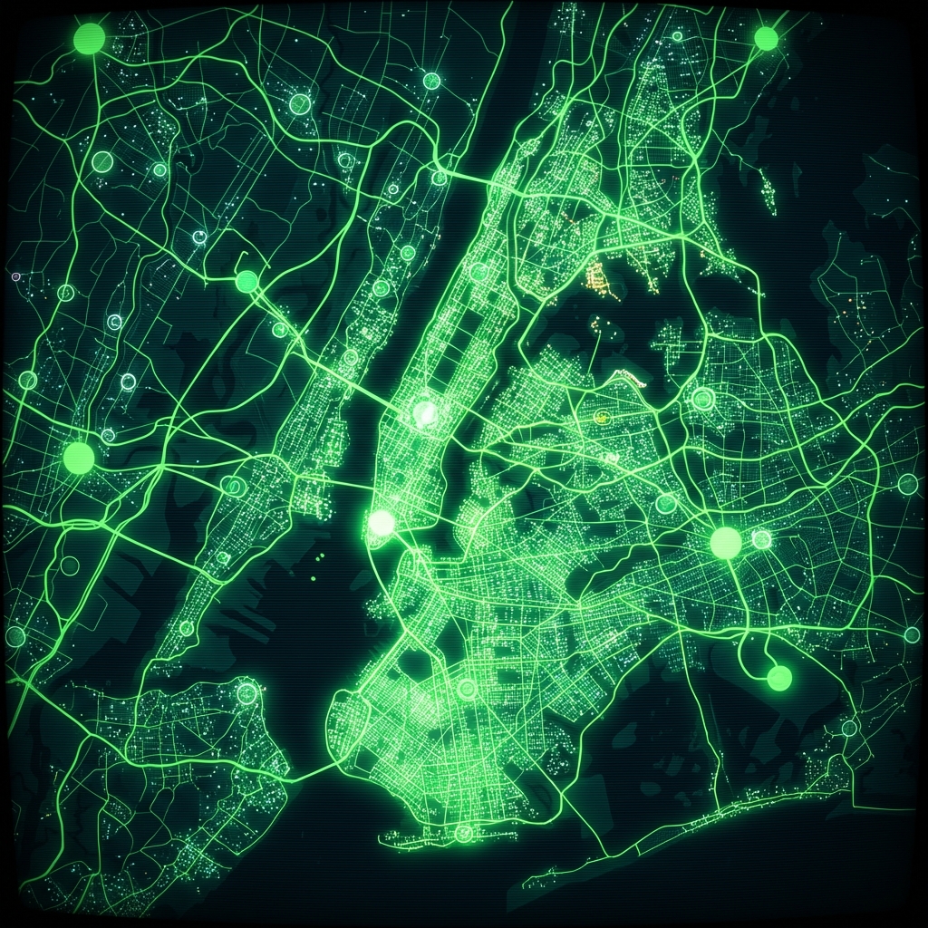 Program Sites (Department of Youth and Community Development)City of New York
 .nyc Domain RegistrationsCity of New York
 Citywide Public Computer CentersCity of New York
 NYC DOE High School DirectoryCity of New York
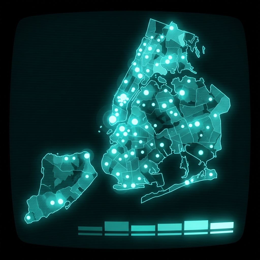 Electronics Drop Off Locations in NYCCity of New York
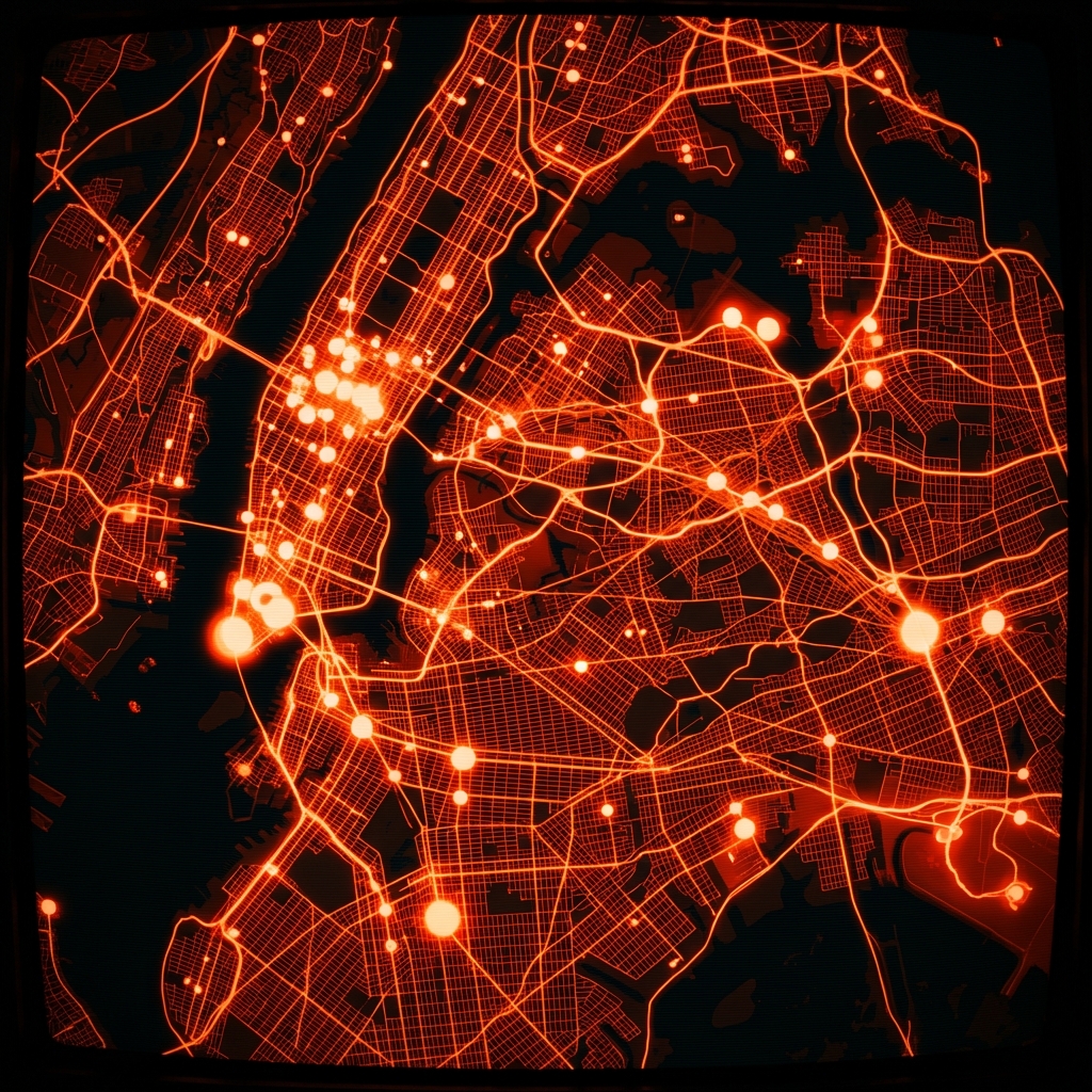 Recoupment for Damaged City-owned PropertyCity of New York
 DOB NOW: Build - Job Application FilingsCity of New York
 Borough President Appointments and BidsCity of New York
 Intercity Bus Stop PermitsCity of New York
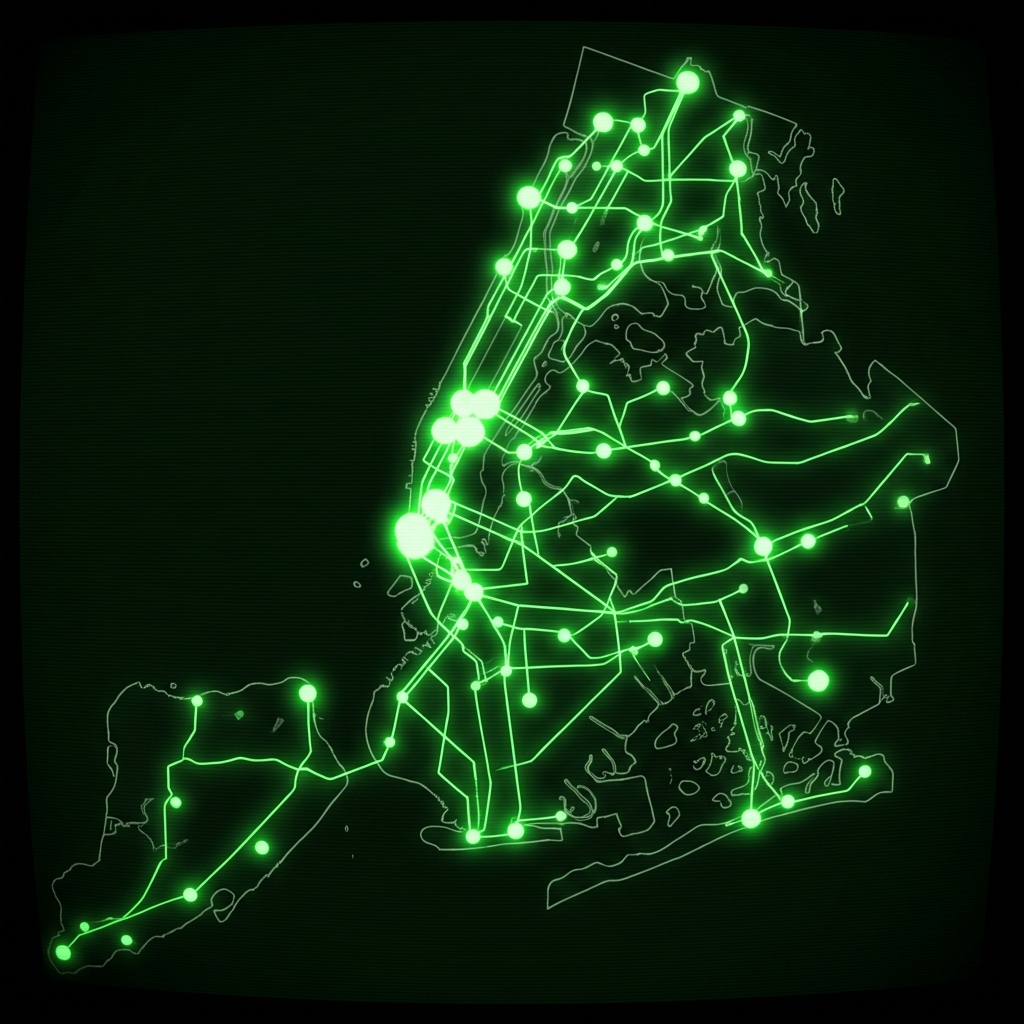 CUNY Campus LocationsState of New York
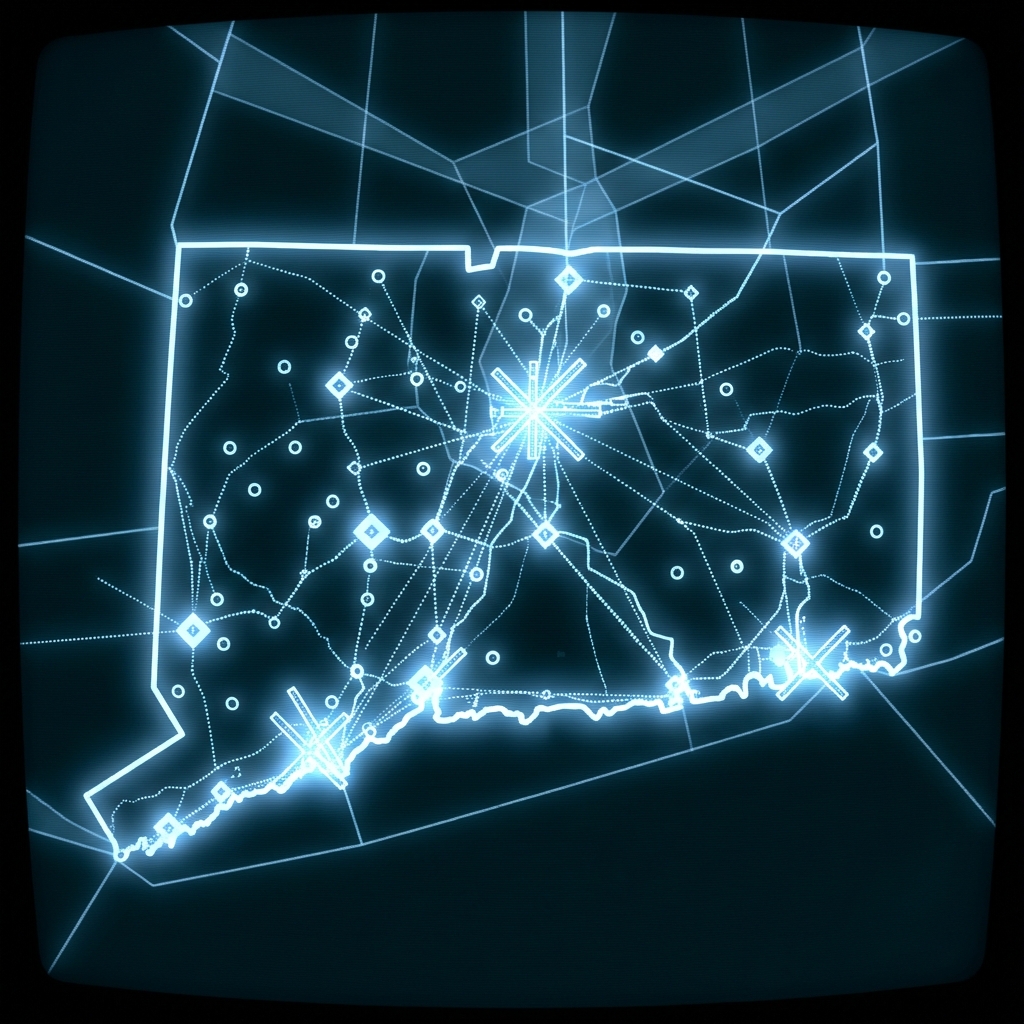 Connecticut Airports FAAState of Connecticut
 Highway Cleanliness RatingsCity of New York