Washington DC Car Share Locations
Locations and attributes of car sharing locations. The points are the general locations where the Car Sharing currently exist. A database provided by the District Department of Transportation identified Car sharing locations.
| Namebrand | Stateaddress | Xgeospatial | Ygeospatial | Description | Age Of Locadditional data | Make Modelproduct | Vehicleproduct | Vehicle IDidentifier | Zone geographic | Loc Typeclassification | Numspacesquantity |
|---|---|---|---|---|---|---|---|---|---|---|---|
| Zipcar | DC | -8570852.14472638 | 4711998.69760211 | 9th/Monroe St NE | x | Volkswagen/Golf | Fishingline | 1628630204 | Brookland | 1 | 2 |
| Enterprise | DC | -8569987.88323969 | 4704487.42531036 | On Street Parking: Located south of Potomac Ave Me | 0 | 1 | 2 | ||||
| Enterprise | DC | -8570489.82260321 | 4702426.73165848 | On Street Parking: Parked on 1100 block of V St SE | 0 | 1 | 2 |
Urban Mobility Market Sizing for Insurance Underwriting
A commercial auto insurer evaluating a car share operator's DC fleet uses location counts, space capacity, and vehicle models to estimate total vehicles at risk, geographic concentration of exposure, and neighborhood-level loss potential before pricing a fleet policy.
Competitive Footprint Analysis for a Mobility Startup
A new car share entrant scoping DC expansion maps existing operator locations by neighborhood to identify underserved zones where incumbent density is low, informing site selection and go-to-market prioritization.
Vendor Due Diligence for a Fleet Telematics Provider
A telematics company prospecting car share operators as potential clients cross-references this dataset against its own customer list to find operators with a physical DC presence, estimate fleet size per operator, and prioritize outreach by scale.
 Washington DC Senior Services NetworkDistrict of Columbia
 Taxi and Limousine StandsDistrict of Columbia
 DC Annual Public Space Rental Permits
 Washington DC ATM Locations
 Parking Violations IssuedDistrict of Columbia
 Curbside Carshare LocationsCity of New York
 Digital Inclusion SitesDistrict of Columbia
 Washington DC Bank Locations
 Grocery Store LocationsDistrict of Columbia
 Occupancy Permits (Recent)District of Columbia
 EmbassiesDistrict of Columbia
 Construction Permits (Recent)District of Columbia
 DC Main Streets Business Sub GrantsDistrict of Columbia
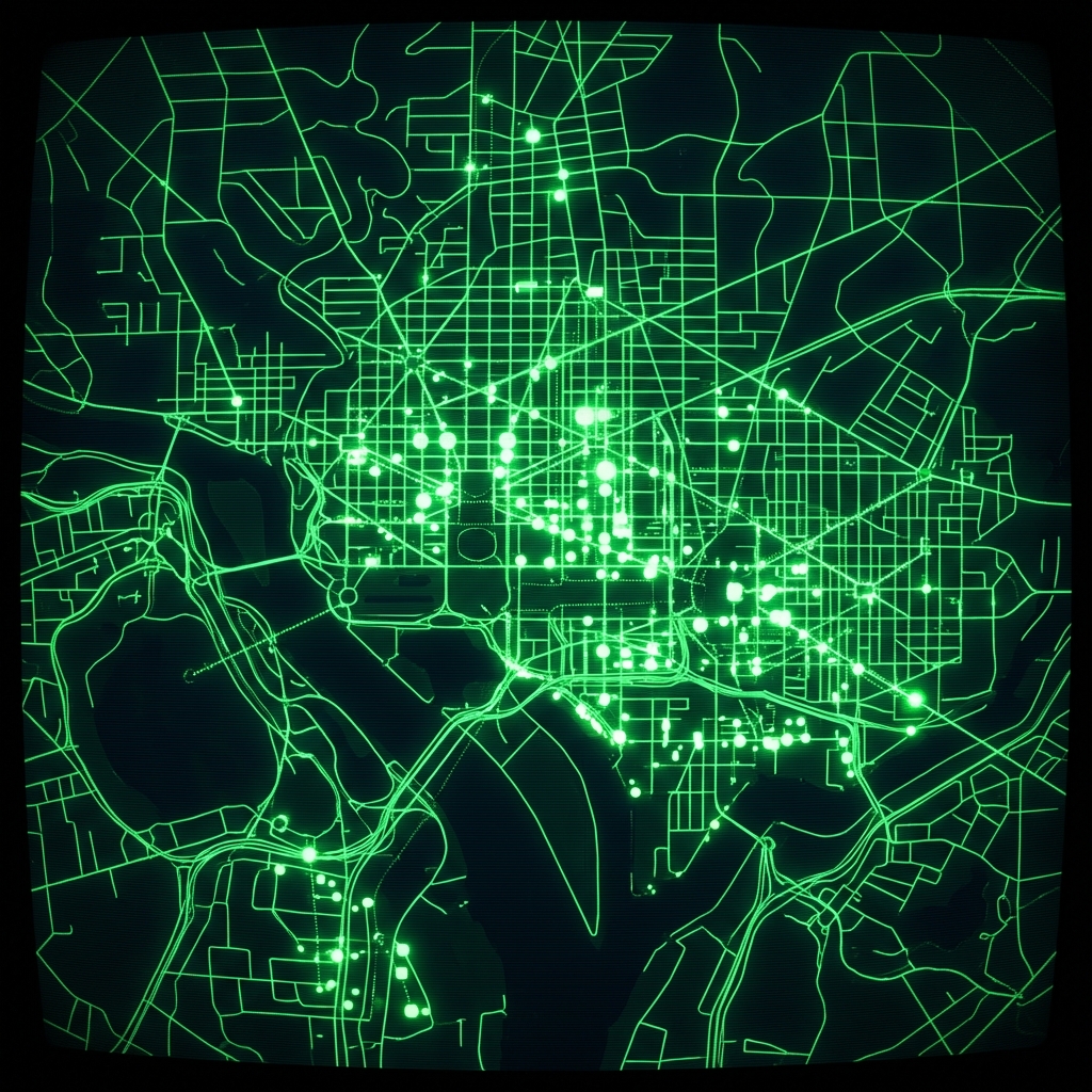 Sidewalk CafesDistrict of Columbia
 DC Common Ownership LotsDistrict of Columbia
 Washington DC Credit UnionsDistrict of Columbia
 Gas Stations
 Corporate RegistrationDistrict of Columbia
 Valet Parking Locations
 Campaign ContributionsDistrict of Columbia