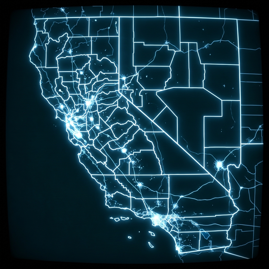
Draft Terrestrial Landscape Intactness for 2026-2027 Integrated Resource Plan
Draft landscape intactness mapping for the California Energy Commission's 2026-2027 Integrated Resource Plan, showing undeveloped terrestrial areas. Each feature includes boundary data and contact information for the managing agency.
| Namebrand | Cityaddress | Stateaddress | ZIP Codeaddress | Street Addressaddress | Phonephone number | @Syncstatus | Arcgisformatproduct | Creadatetemporal | Creatimetemporal | Dataproperties.Coordref.Csunits.#Textgeospatial | Dataproperties.Coordref.Csunits.@Sync |
|---|---|---|---|---|---|---|---|---|---|---|---|
| Data Basin | Corvallis | OR | 97333 | 136 SW Washington Ave, Suite 202 | 5417570687 |
Renewable Energy Site Screening for Underwriters
An insurance underwriter evaluating a solar or wind project in California checks whether the proposed site overlaps with mapped undeveloped terrestrial areas to assess regulatory exposure and potential project delays that could affect policy terms.
Vendor Due Diligence on Geospatial Data Suppliers
A fintech or infrastructure firm procuring third-party spatial data for land-use modeling verifies the identity, location, and contact legitimacy of the distributing organization before signing a data licensing agreement.
Land Use Change Detection for Agricultural Lenders
A lender with collateral tied to California agricultural or rural land uses the dataset's modification dates and spatial coverage to flag whether previously undeveloped parcels near loan collateral have been reclassified, which could affect land value assessments.
 Electric Load Serving Entities (Investor-Owned and Publicly-Owned Utilities)State of California
 State LeasesState of California
 Service ProvidersState of California
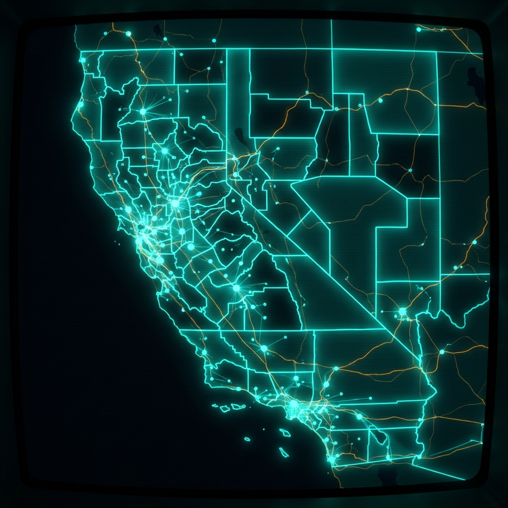 Electric Load Serving EntitiesState of California
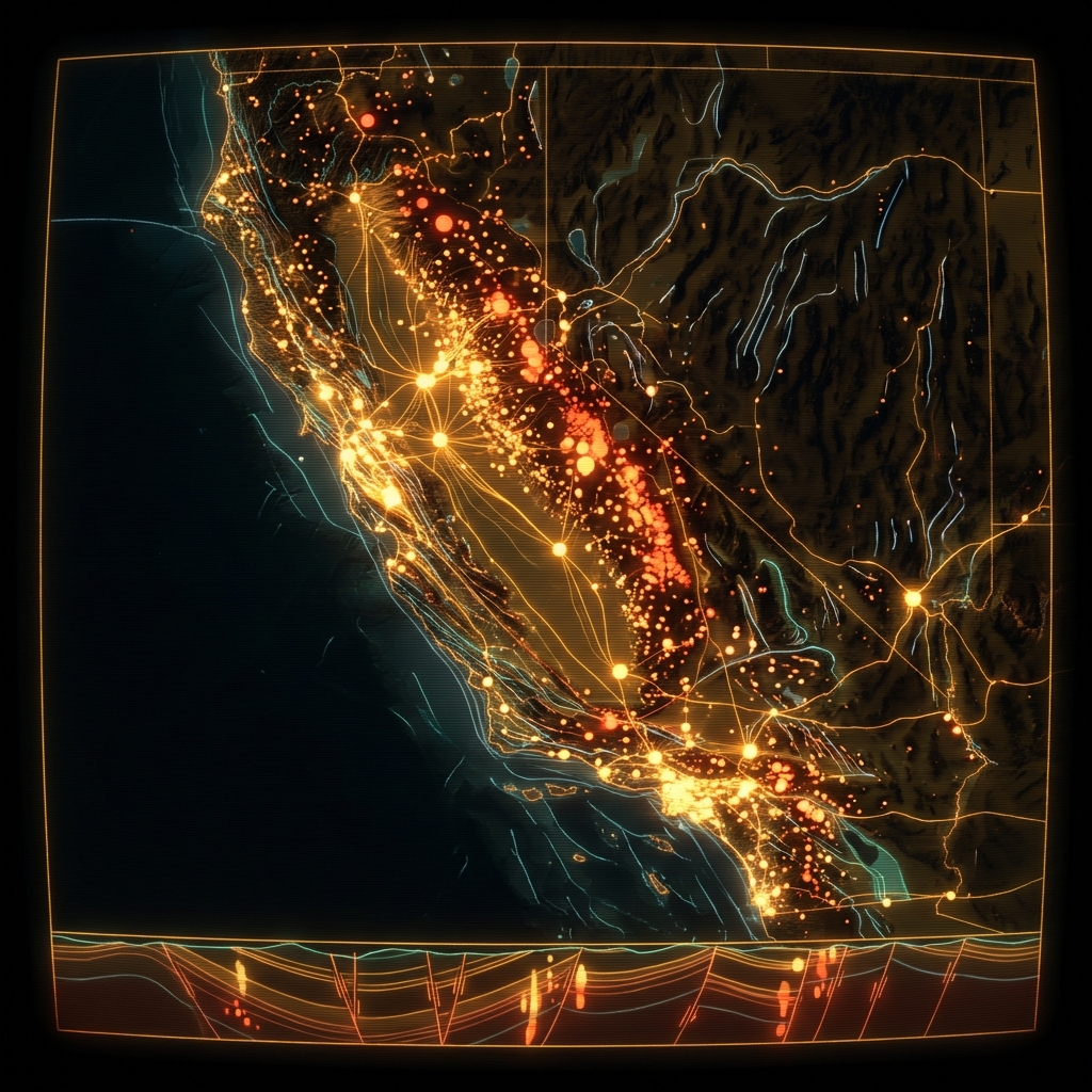 Mines (Division of Mining and Reclamation)State of California
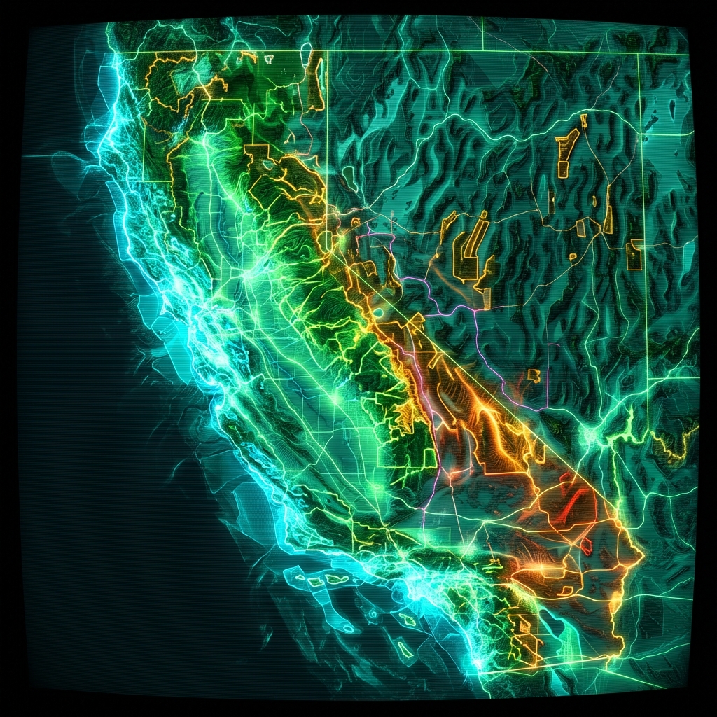 30x30 Conserved Areas, TerrestrialState of California
 State Environmental Policy Act RegisterState of Washington
 City Projects and Agencies LobbiedCity of Los Angeles
 Demand Response Across the Continental USDepartment of Energy
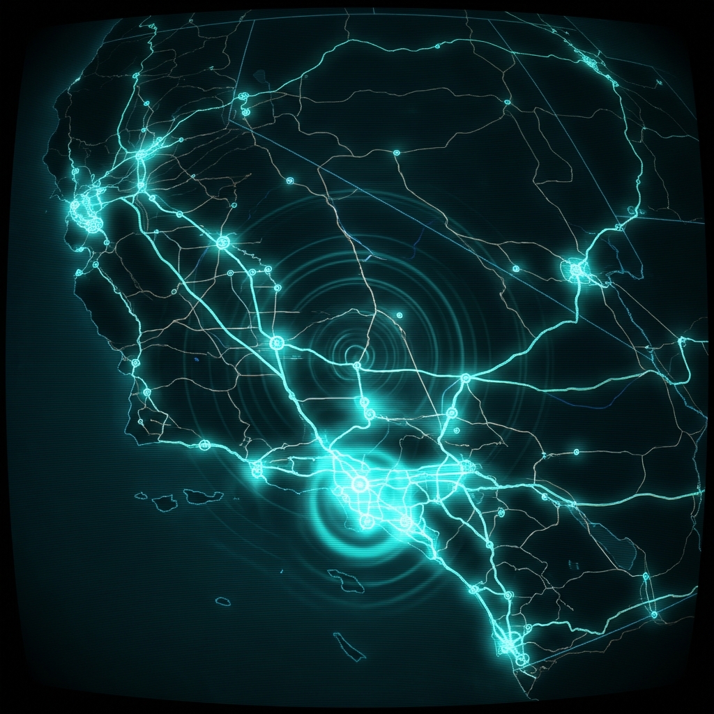 Clean Transportation ProgramState of California
 Basin Characterization Program (Department of Water Resources)State of California
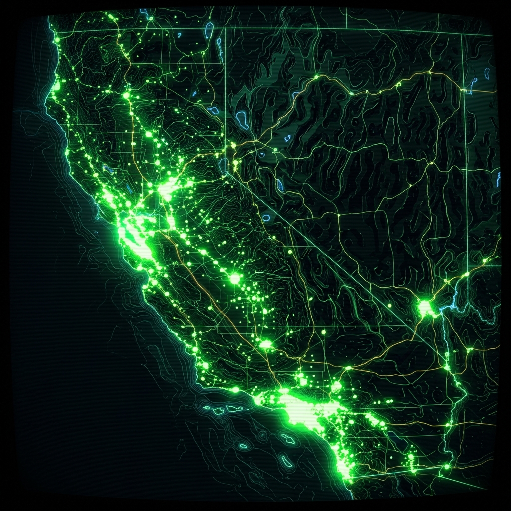 Public SchoolsState of California
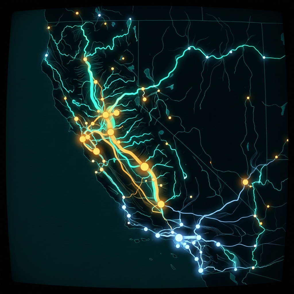 Water Rights Annual ReportsState of California
 California Integrated Travel Project GTFS Ingest PipelineState of California
 Health Professional Shortage Areas in CaliforniaState of California
 Health Facilities State Enforcement ActionsState of California
 Affordable Housing and Sustainable CommunitiesState of California
 Licensed and Certified Healthcare Facility ListingState of California
 Planning Department Records - ProjectsCity of San Francisco
 Community Care Licensing FacilitiesState of California