Allegany County Transit Stops
Allegany County Transit (ACT) bus stops are presented as geographic locations, reflecting ACT's flag bus route system where not all stops have physical posts. Each record details the stop's unique identifier, name, latitude, longitude, and an indication of its physical post status, sourced from GTFS files.
| Namebrand | Cityaddress | The Geomgeospatial | Gis Object IDidentifier | Latitudegeospatial | Longitudegeospatial |
|---|---|---|---|---|---|
| South Cumberland Pharmacy | Cumberland | POINT (-78.74862600009 39.630216999984) | 160 | 39.630217 | -78.748626 |
| Opposite D'Atri's Restaurant | La Vale | POINT (-78.829424999761 39.639526999765) | 51 | 39.639527 | -78.829425 |
| Martin's Cumberland | Cumberland | POINT (-78.758129999727 39.646290000334) | 107 | 39.64629 | -78.75813 |
Retail Site Selection Near Transit Corridors
A commercial real estate analyst evaluating potential store locations cross-references bus stop coordinates against candidate properties to quantify foot traffic access and transit proximity, which factors into lease negotiation and site scoring models.
Insurance Underwriting for Transit-Adjacent Properties
A commercial property underwriter assessing a business interruption policy checks whether the insured location sits near a public transit stop, since transit access affects customer volume assumptions and revenue projections used in loss modeling.
Field Sales Territory Optimization
A sales operations team building routes for field representatives in rural western Maryland uses stop locations and associated landmark names to identify clusters of commercial activity along the transit network, helping prioritize which businesses to visit in a single trip.
 Cecil County Transit StopsState of Maryland
 Carroll County Transit StopsState of Maryland
 MTA Bus ParkingState of Maryland
 Intercity Bus Stop PermitsCity of New York
 Maryland Amtrak Stations
 Biodiesel Fuel Stations
 FreshWagon StopsCity of Ferndale, Michigan
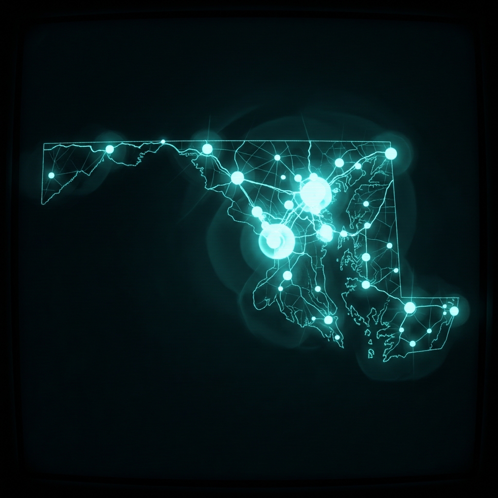 Compressed Natural Gas Fuel StationsState of Maryland
 Maryland Airports
 Alternative Fuel Stations in New YorkState of New York
 Elementary School Service AreasMontgomery County of Maryland
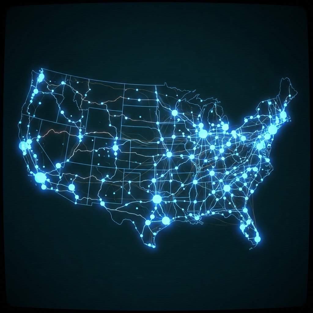 Liquefied Natural Gas StationsState of Maryland
 Electric Vehicle Charging Stations (DOE)Department of Energy
 Regular Route Vendor's LicenseMontgomery County of Maryland
 Gas Stations
 Electric Vehicle Charging Stations (Local)State of Connecticut
 Non-Government Community Support ServicesState of Maryland
 Alternative Fueling Station Locations (US and Canada)
 Bus Breakdown and DelaysCity of New York
 Washington DC ATM Locations