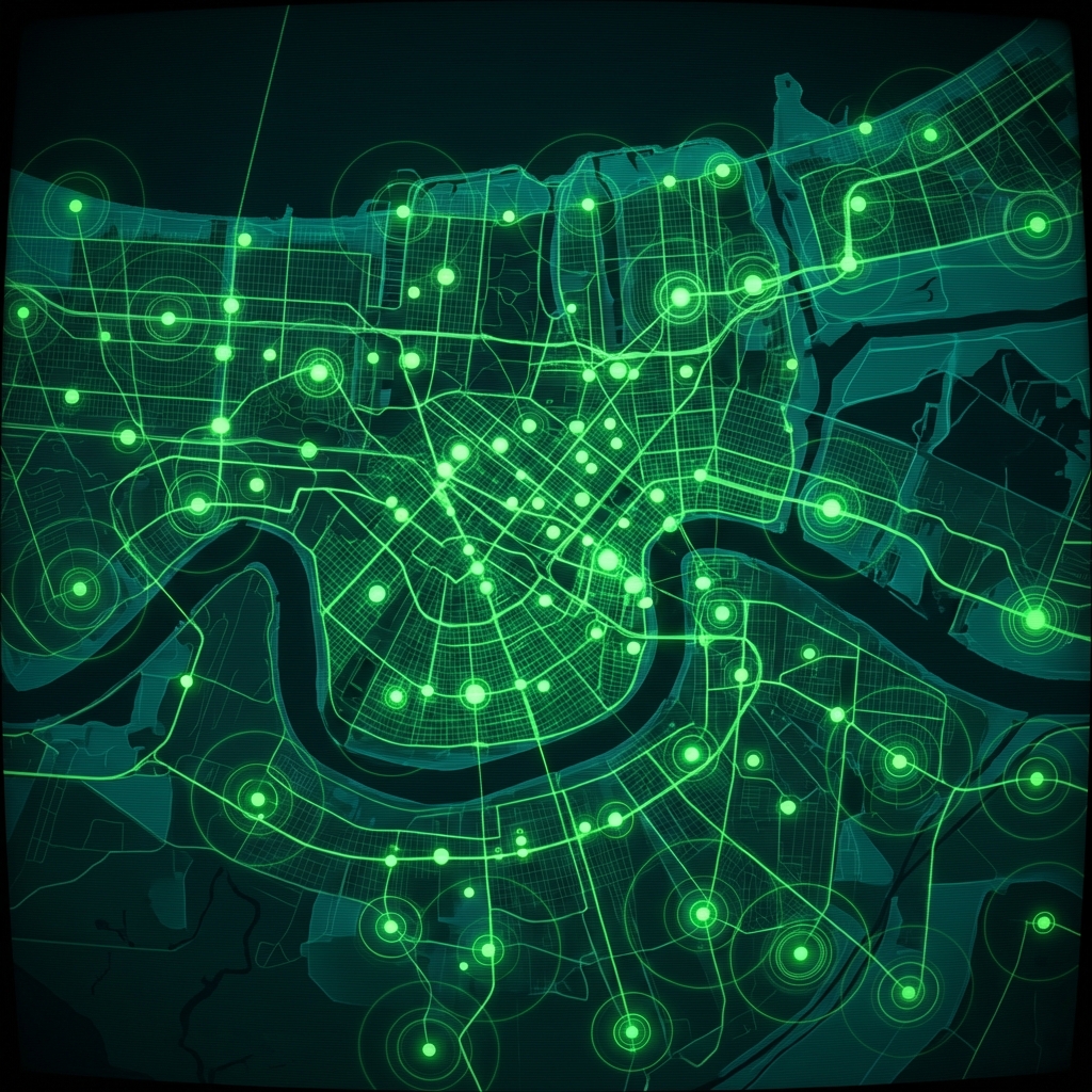
Drug Free Zones
Revised Statute 40:981.3 establishes that Drug Free Zones are inclusive of any properties used for school purposes, drug treatment facilities, religious buildings, public housing authority property, child care centers or within two-thousand feet of any such properties. Maintained by the City of New Orleans.
| Namebrand | Street Addressaddress | The Geomgeospatial | Objectididentifier | Geopingeographic | Shape.Starea()quantity | Shape.Stlength()quantity |
|---|---|---|---|---|---|---|
| XAVIER UNIVERSITY OF LOUISIANA | 3337 PINE ST | MULTIPOLYGON (((-90.109470547545 29.954616197658, | 206 | 41044316 | 13177909.305246616 | 12871.276399219101 |
| ST ALOYSIUS COLLEGE | 4401 ELYSIAN FIELDS AVE | MULTIPOLYGON (((-90.059061208657 29.997682733282, | 336 | 41130676 | 17606896.408248257 | 14917.030944512157 |
| SISTERS OF THE BLESSED SACRAMENT | 7200 DIXON ST | MULTIPOLYGON (((-90.105669303139 29.958149187527, | 167 | 41036585 | 13055046.659451459 | 12811.00409509911 |
Cannabis Business License Screening
A compliance officer at a cannabis licensing platform checks whether a dispensary applicant's proposed address falls within a drug-free zone boundary before approving a storefront license, since operating inside such a zone triggers enhanced criminal penalties under Louisiana statute.
Commercial Real Estate Underwriting
A commercial lender evaluating a loan on a retail property runs the parcel against drug-free zone polygons to flag regulatory restrictions that could limit tenant types, affect property value, or complicate collateral recovery in a default scenario.
Fraud Pattern Mapping for Illicit Business Detection
A fraud analyst at a payment processor investigating suspicious merchant activity overlays transaction origin addresses against drug-free zone boundaries to identify whether flagged businesses are operating in legally sensitive areas that would disqualify them from certain license categories.
 Drug StoresCity of New Orleans
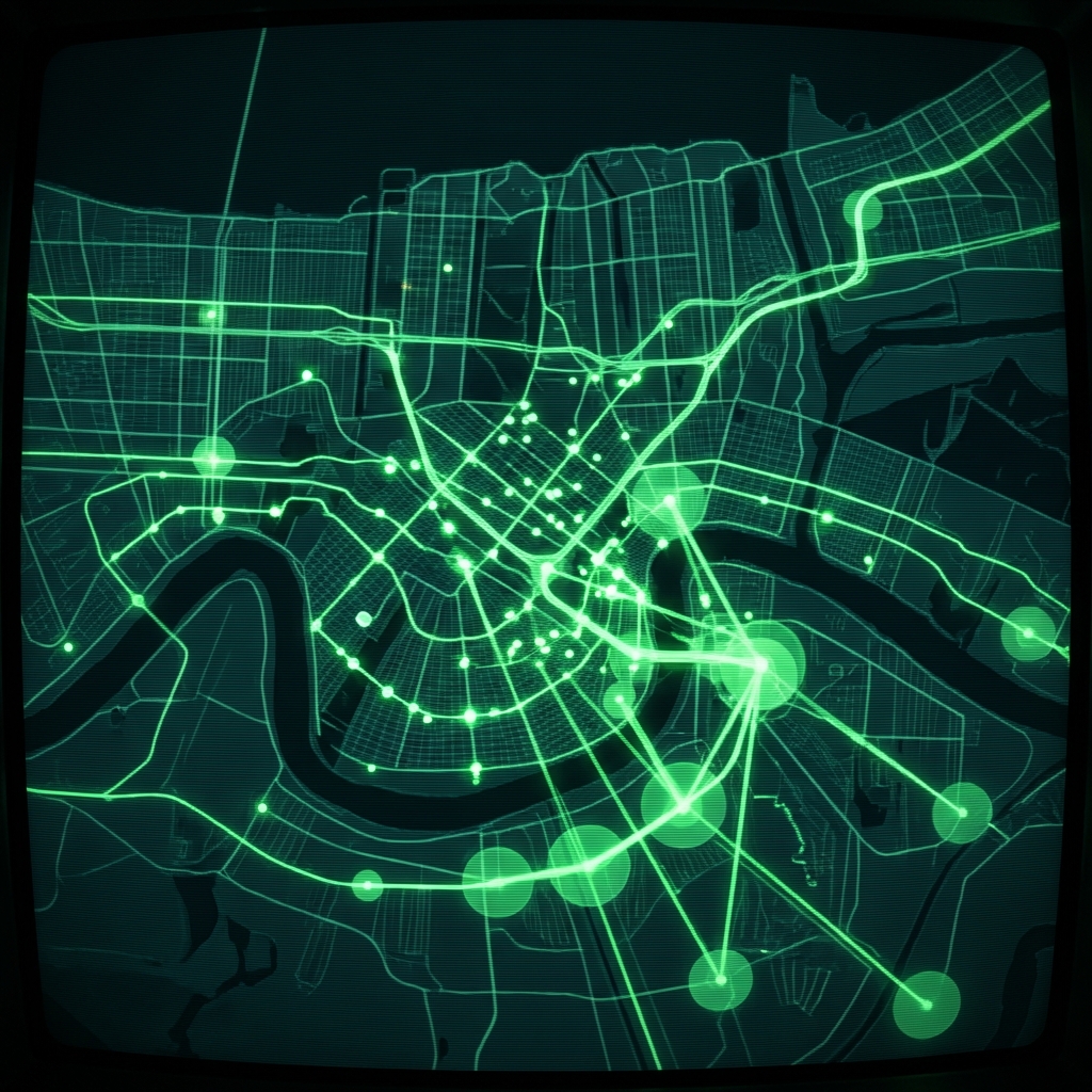 Non-Commercial Short-Term Rental LicensesCity of New Orleans
 Metropolitan Emergency SitesCity of New Orleans
 Active Short-Term Rental LicensesCity of New Orleans
 Building PermitsCity of New Orleans
 School LocationsCity of Baton Rouge
 Baton Rouge Apartment Locations
 Daycare Center LocationsCity of Baton Rouge
 Occupational Business LicensesCity of New Orleans
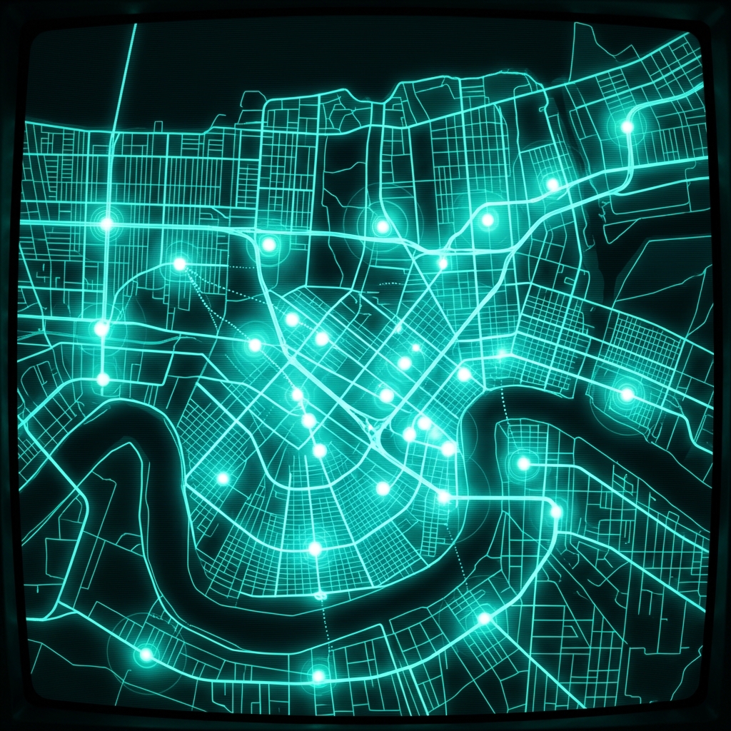 New Orleans Vehicle Inspection Stations
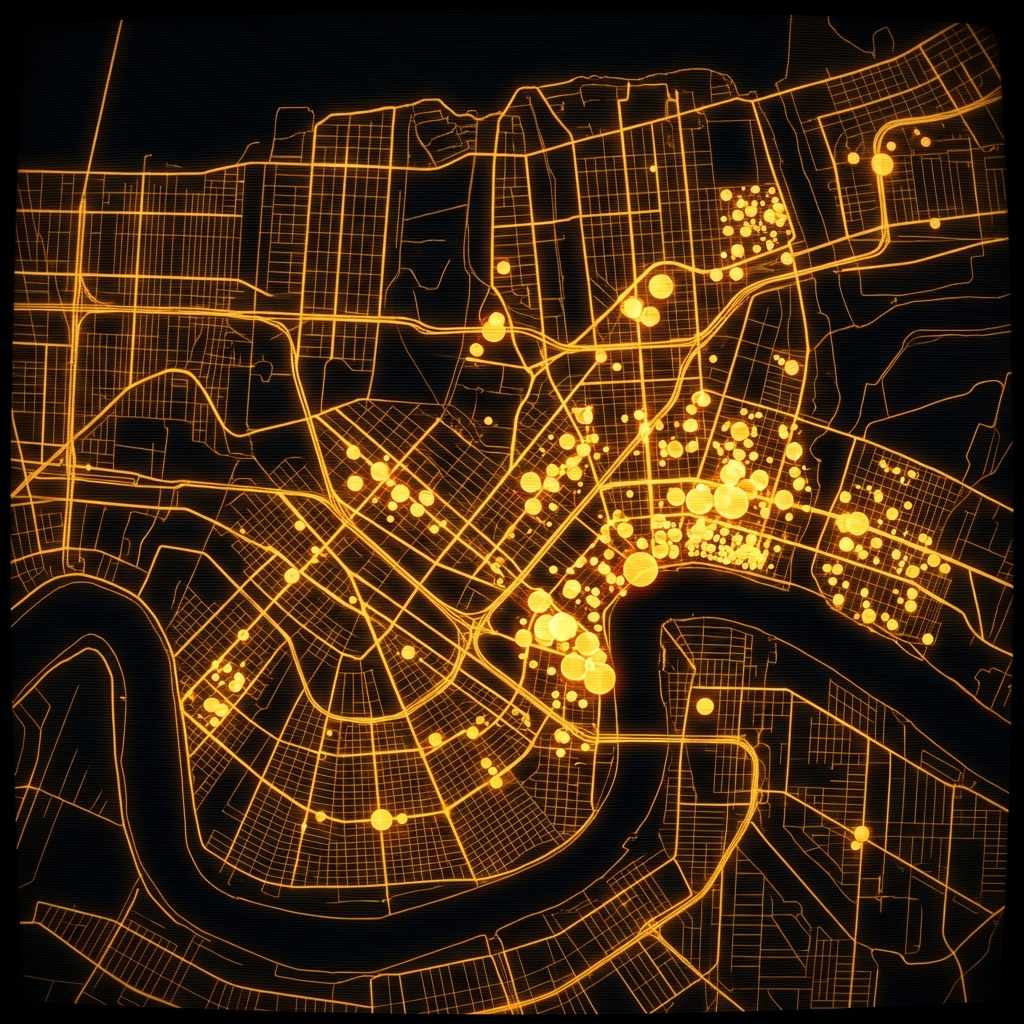 Grass Cutting and Lot AbatementCity of New Orleans
 New Orleans Active Occupational LicensesCity of New Orleans
 Alcohol Beverage OutletsCity of New Orleans
 Louisiana Medical Marijuana RetailersLouisiana Department of Health
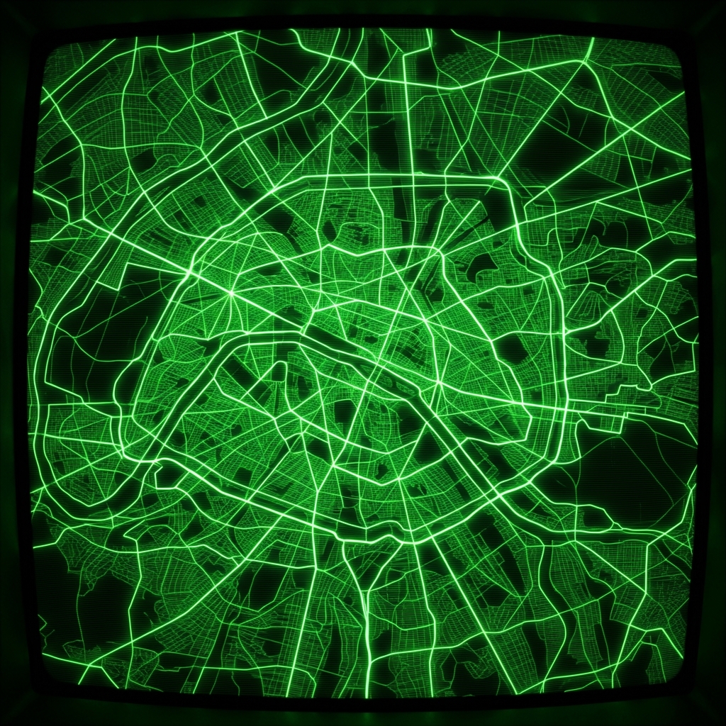 HUD Grant Neighborhoods (Urban, Since 1979)Louisville Metro Government
 Mobile Home Park LocationsCity of Baton Rouge
 Colleges and Universities, Baton RougeCity of Baton Rouge
 Public Health Locations
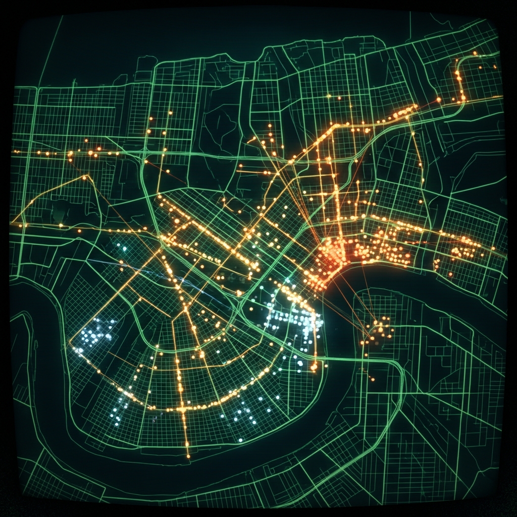 Occupational Business LicensesCity of New Orleans
 Fitness CenterCity of Baton Rouge