HUD Grant Neighborhoods (Urban, Since 1979)
The Louisville Neighborhoods layer consists of polygons representing approximate boundaries and extents of historical and cultural neighborhoods within the pre-merger limits of the City of Louisville, or post-merger Urban Service District. Each polygon carries attributes for neighborhood name and code.
| Namelegal entity | Cityaddress | Stateaddress | ZIP Codeaddress | Street Addressaddress | Phonephone number | Ci Responsibleparty.Contactinfo.Ci Contact.Address.Ci Address.Country.Country.#Textaddress | Ci Responsibleparty.Contactinfo.Ci Contact.Address.Ci Address.Country.Country.@Codelistadditional data | Ci Responsibleparty.Contactinfo.Ci Contact.Address.Ci Address.Country.Country.@Codelistvaluegeographic | Ci Responsibleparty.Contactinfo.Ci Contact.Address.Ci Address.Country.Country.@Codespaceadditional data | Ci Responsibleparty.Contactinfo.Ci Contact.Phone.Ci Telephone.Facsimile.Gco:Characterstringphone number | Ci Responsibleparty.Role.Ci Rolecode.#Textrole |
|---|---|---|---|---|---|---|---|---|---|---|---|
| LOJIC | Louisville | KY | 40203 | 700 West Liberty Street | 5025406372 | US | http://www.iso.org/iso/country_codes/iso_3166_code | US | ISO3166-1 | (502) 540-6499 | pointOfContact |
Neighborhood-Level Business Density Mapping
A commercial real estate lender underwriting a small business loan uses neighborhood boundary polygons to assess how many active businesses operate within a defined urban zone, helping gauge local market saturation and foot traffic potential for the borrower's location.
Geofenced Fraud Pattern Detection
A fraud analyst at a payments company overlays transaction dispute clusters against historical neighborhood boundaries to determine whether disputed charges concentrate in specific urban zones, which can indicate organized fraud rings operating within defined geographic corridors.
Vendor Address Verification Against Known Jurisdictions
A KYB analyst onboarding a Louisville-based vendor cross-references the vendor's stated address against official neighborhood boundary data to confirm the address falls within a recognized urban service district, flagging addresses that do not resolve to any known neighborhood as potential data quality or identity concerns.
 Short Term RentalsLouisville Metro Government
 Landbank Sales HistoricalLouisville Metro Government
 COVID-Related Complaints With No ViolationsLouisville Metro Government
 Jefferson County KY Address PointsLouisville Metro Government
 COVID-Related Enforcement ActionsLouisville Metro Government
 Air Pollution Control District Gas Operating PermitsLouisville Metro Government
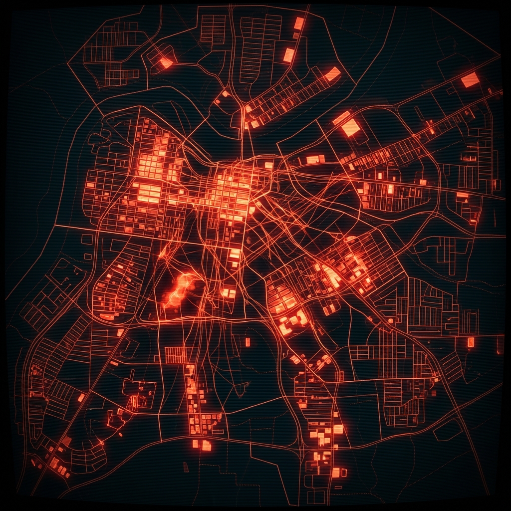 Property Maintenance Case OccupancyLouisville Metro Government
 Housing Opportunities Commission Office LocationsMontgomery County of Maryland
 DC Main Streets Business Sub GrantsDistrict of Columbia
 Air Pollution Control District Gas Construction PermitsLouisville Metro Government
 Lien Holder Final OrdersLouisville Metro Government
 Bullitt County KY SchoolsLouisville Metro Government
 Aging and Community Living Lead AgenciesDistrict of Columbia
 Business Improvement DistrictsDistrict of Columbia
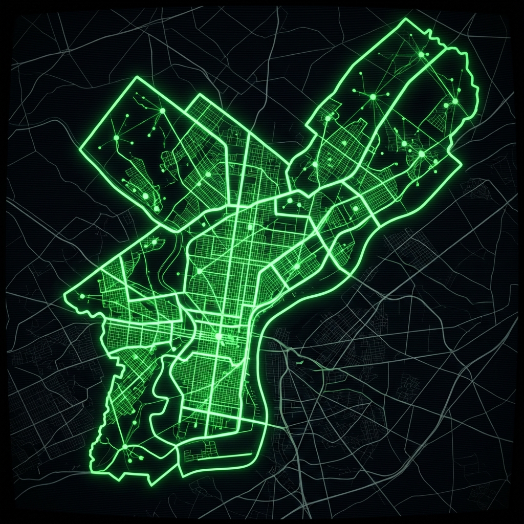 Business Improvement DistrictsCity of Philadelphia
 Great Start Program ProviderCity of Ferndale, Michigan
 Louisville Metro KY - Tobacco LicensesLouisville Metro Government
 Drug Free ZonesCity of New Orleans
 Historic Preservation EasementsDistrict of Columbia
 Louisville Metro KY - ABC LicensesLouisville Metro Government