Cemeteries in Iowa
Locations of historic cemeteries across Iowa, originally identified from USGS quad maps. Each record includes the cemetery's name, an alternate name if available, and its full address.
| Namebrand | Alternate Namebrand | Full Addressaddress | Inventory Numberregistration | County Namegeographic | Cemetery Pointgeospatial |
|---|---|---|---|---|---|
| Brighton Cemetery | Marne Cemetery | .8 miles NE of Marne | 15-00195 | Cass | POINT (-95.10032409490904 41.46193737502047) |
| Hopeville Cemetery | At Hopeville | 20-00121 | Clarke | POINT (-93.98733911773074 40.945656099391144) | |
| Onawa Cemetery | S side of Onawa | 67-00723 | Monona | POINT (-96.08964716635467 42.01924946765915) |
Title Plant and Property History Enrichment
A title insurance underwriter researching a rural Iowa parcel checks whether any historic cemetery falls within or adjacent to the property boundary, since undisclosed burial grounds can create encumbrances, cloud title, and trigger state preservation statutes that affect insurability.
Rural Land Parcel Risk Screening for Agricultural Lenders
A farm credit analyst evaluating collateral for an agricultural loan overlays cemetery coordinates against parcel boundaries to flag land that may carry legal restrictions on development or tillage, which could reduce the liquidation value of the collateral in a default scenario.
Site Selection Conflict Detection for Infrastructure Developers
A utility or broadband infrastructure company planning rural Iowa routes uses cemetery locations to identify potential conflicts early in permitting, since disturbing a historic burial site triggers federal and state review processes that can delay or kill a project.
 Cook County Cemetery PointsCook County of Illinois
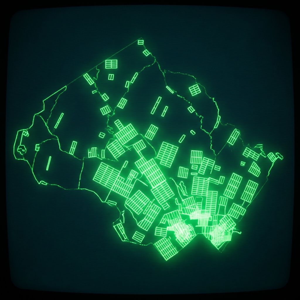 CemeteriesMontgomery County of Maryland
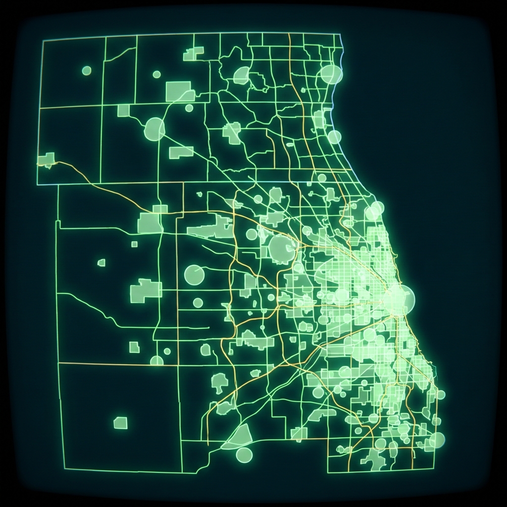 Cook County Cemetery BoundariesCook County of Illinois
 Cemeteries LocationCity of Austin
 Preneed Sellers Licensed in IowaState of Iowa
 VA Cemeteries: Burial Space and Contact InformationDepartment of Veterans Affairs
 Washington DC Cemetery LocationsDistrict of Columbia
 Allegheny County Cemetery BoundariesAllegheny County / City of Pittsburgh / Western PA Regional Data Center
 Active Rail LinesState of Iowa
 Purchasing GroupsState of Iowa
 Adopted RegulationsState of Iowa
 Independent Expenditures for State Candidates or Ballot IssuesState of Iowa
 Airport Conical SurfacesState of Iowa
 Public School DistrictsState of Iowa
 appraiser business entities licensed iowa
 Elementary School DistrictsLake County, Illinois
 Annual Urban RenewalState of Iowa
 Cook County Address Points, Township 23
 Jefferson County KY Address PointsLouisville Metro Government
 Lake County IL Community College DistrictsLake County, Illinois