Airport Conical Surfaces
Geospatial data delineating the conical surfaces associated with Iowa airports, defined as extending outwards and upwards from the horizontal surface boundary at a 20:1 slope for 4,000 feet. Each record includes the polygonal geometry for a conical surface, along with identifiers for the associated airport and surface type.
| Namebrand | Alternate Nameidentifier | Cityaddress | The Geomgeospatial | Objectididentifier | Airport Elevation (Ft Msl)quantity | Part 77 Surfaceclassification | Surface Descriptionadditional data | Inner Elevation (Ft Msl)quantity | Outer Elevation (Ft Msl)quantity | Surface Width (Ft)quantity | Surface Ratioquantity |
|---|---|---|---|---|---|---|---|---|---|---|---|
| JEFFERSON MUNICIPAL | EFW | Jefferson | MULTIPOLYGON (((-94.306269316266 42.007330996921, | 2 | 1048 | Conical Surface | Surface extends from periphery of horizontal surfa | 1198 | 1398 | 4000 | 20:1 |
| SIOUX GATEWAY/COL. BUD DAY FIELD | SUX | Sioux City | MULTIPOLYGON (((-96.399277424187 42.442594757978, | 49 | 1098 | Conical Surface | Surface extends from periphery of horizontal surfa | 1248 | 1448 | 4000 | 20:1 |
| GREENFIELD MUNICIPAL | GFZ | Greenfield | MULTIPOLYGON (((-94.46214536615 41.302908901847, - | 112 | 1361 | Conical Surface | Surface extends from periphery of horizontal surfa | 1511 | 1711 | 4000 | 20:1 |
Commercial Real Estate Airspace Encumbrance Screening
A commercial real estate lender underwriting a construction loan checks whether a proposed development site falls within an airport conical surface zone, which would cap allowable building height and affect collateral value and project feasibility.
Telecom Tower Siting Compliance Check
A wireless infrastructure company evaluating candidate tower locations cross-references proposed coordinates against conical surface polygons to identify sites where FAA obstruction review would be required before permitting, narrowing the viable site list before field surveys begin.
Property Insurance Height Restriction Underwriting
A property insurer assessing a portfolio of Iowa industrial and warehouse facilities flags parcels that intersect conical surface zones, where any future vertical expansion would face federal height limits, affecting long-term replacement cost assumptions and policy terms.
 Airport Precision Approach Surfaces
 Connecticut Airports FAAState of Connecticut
 Maryland Airports
 Adopted RegulationsState of Iowa
 RunwaysDepartment of Transportation
 Active Rail LinesState of Iowa
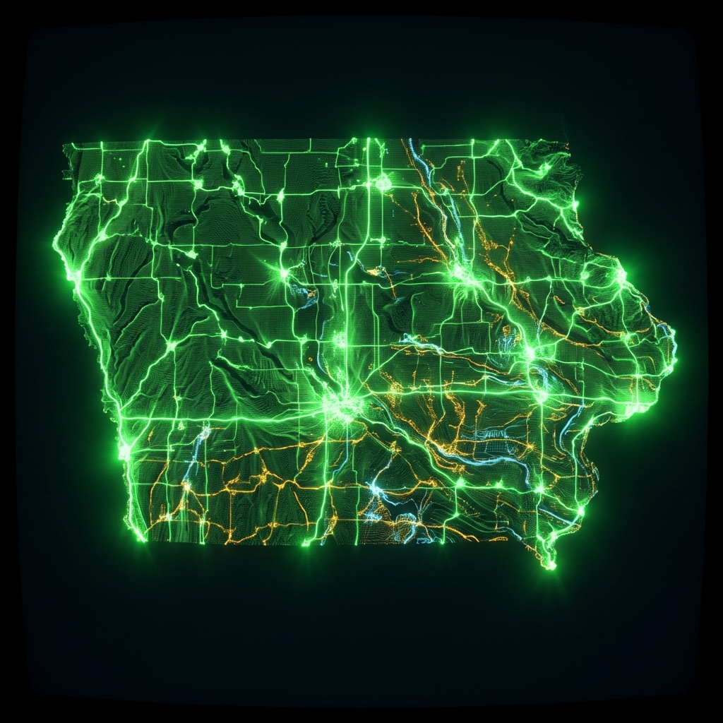 Cemeteries in IowaState of Iowa
 Cook County Address Points, Township 23
 NYC Airport LocationsCity of New York
 Montgomery County Business ParksMontgomery County of Maryland
 NYC Airport BoundariesCity of New York
 Cook County Cemetery BoundariesCook County of Illinois
 appraiser business entities licensed iowa
 Intermodal Freight Facilities Pipeline TerminalsFederal Geographic Data Committee
 Cook County Cemetery PointsCook County of Illinois
 Jefferson County KY Address PointsLouisville Metro Government
 Lake County IL Community College DistrictsLake County, Illinois
 Claims Against the State of IowaState of Iowa
 Intermodal Passenger Connectivity DatabaseFederal Geographic Data Committee
 Cecil County Transit StopsState of Maryland