Cook County Cemetery Points
Each point in this dataset marks the central geographic location of a cemetery within Cook County, Illinois. Each record includes the cemetery's name and its precise geographic coordinates.
| Namebrand | Cityaddress | Street Addressaddress | The Geomgeospatial | Cftypeclassification | Cfsubtypeclassification | Gniscoderegistration | Comment | Sourceadditional data | Jurisdictigeographic | Mergeididentifier |
|---|---|---|---|---|---|---|---|---|---|---|
| Calvary Cemetery | Bloom Twp | 2555 W 34th St | POINT (-87.66807052218111 41.47091614335979) | Cemetery | Cemetery | 405401 | CEFG | 25940 | ||
| Mount Carmel Cemetery | Hillside | 4951 Harrison St | POINT (-87.90885480491598 41.86619106255754) | Cemetery | Cemetery | 413942 | CEFG | 25917 | ||
| Hazel Green Cemetery | Alsip | 115 S Laramie Ave | POINT (-87.74866881596468 41.683109669028916) | Cemetery | Cemetery | 426866 | CEFG | 25883 |
Property and Land Underwriting Boundary Check
A commercial property insurer underwriting a parcel adjacent to an undisclosed cemetery uses the geospatial coordinates and street address to confirm whether a known cemetery falls within or near the subject property boundary, which affects title risk, resale value assumptions, and environmental liability exposure.
Funeral Services Market Coverage Analysis
A funeral home chain evaluating expansion into Cook County townships maps existing cemetery locations against their current service area to identify underserved corridors where a new facility or partnership would face less geographic competition.
Vendor Address Verification for Grounds Maintenance Contracts
A landscaping company bidding on municipal grounds maintenance contracts cross-references the official cemetery name and address against their own customer records to confirm they are quoting the correct site and not a duplicate or renamed location.
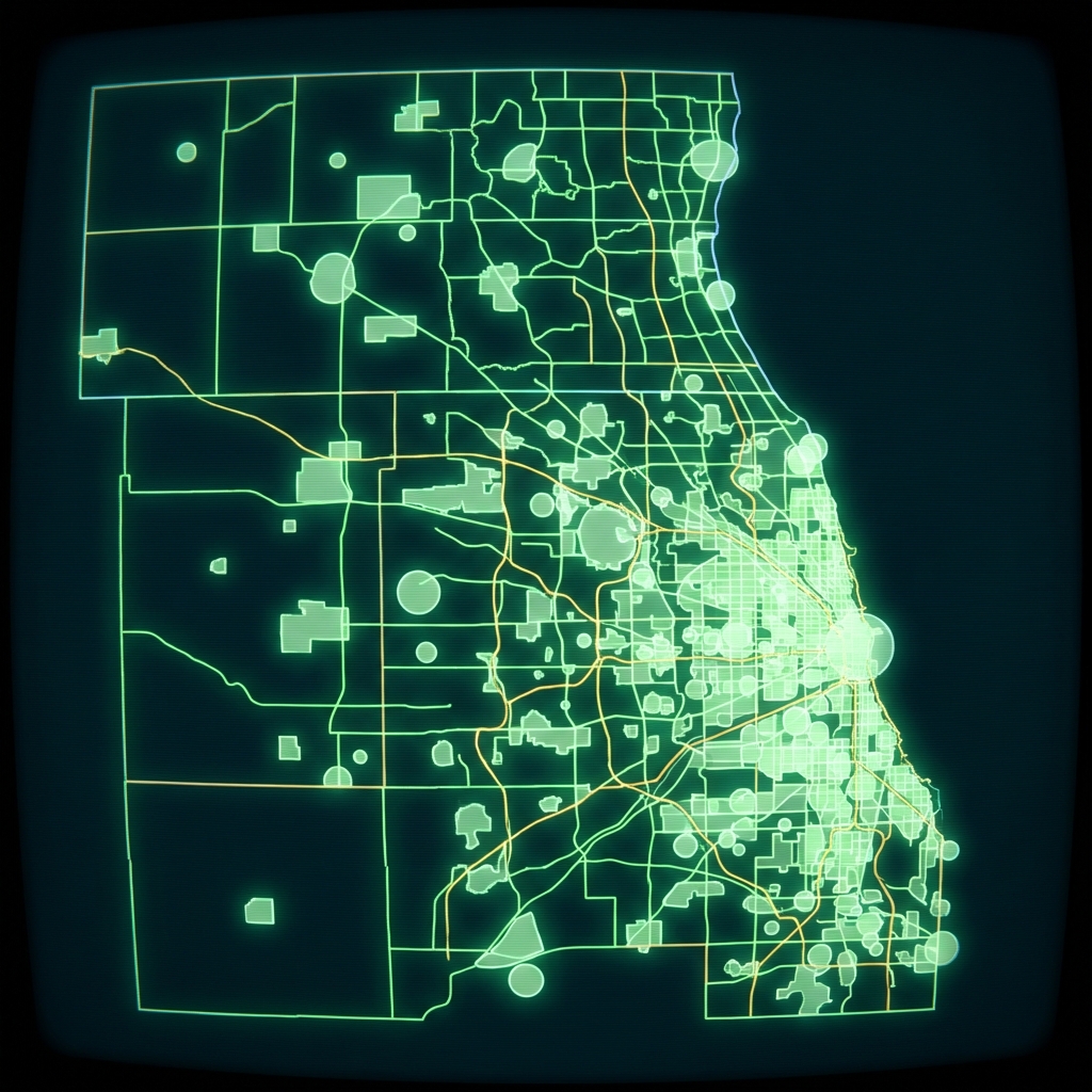 Cook County Cemetery BoundariesCook County of Illinois
 Cook County Address Points, Township 23
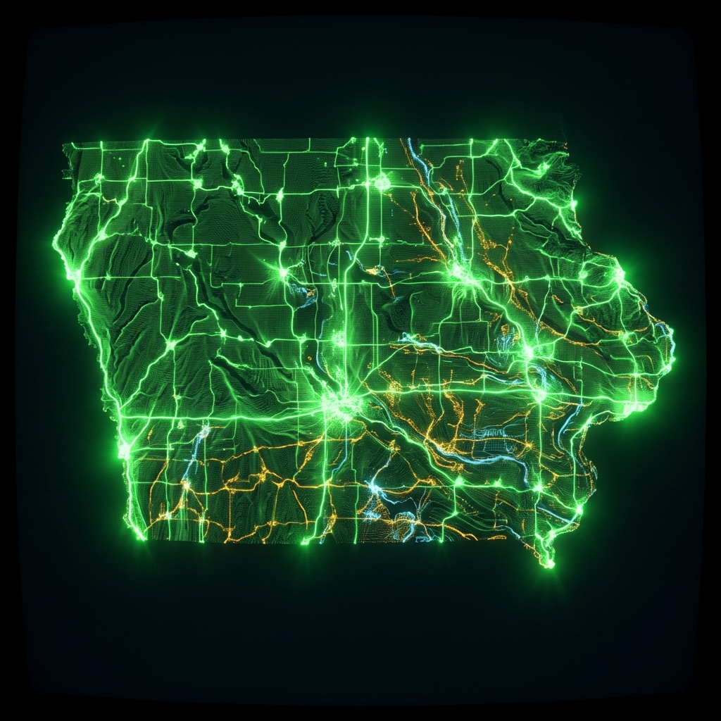 Cemeteries in IowaState of Iowa
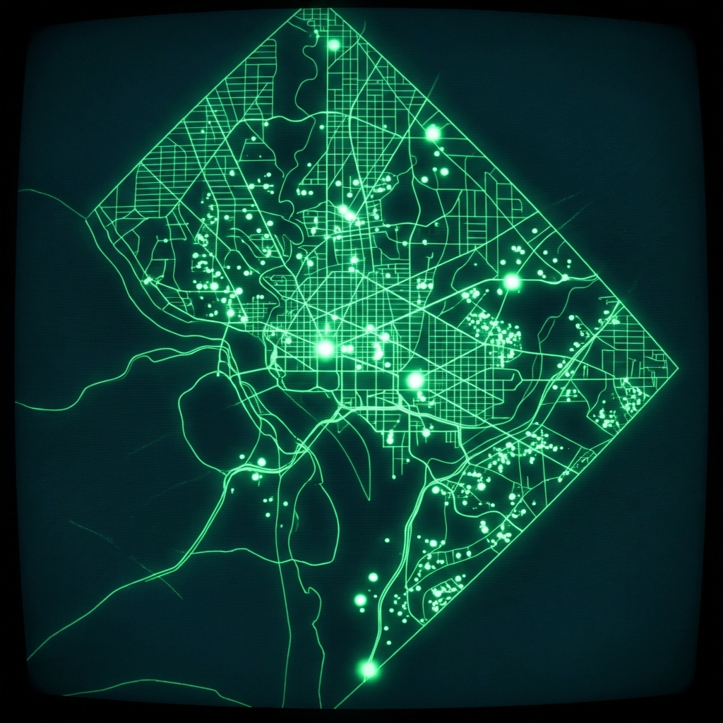 Washington DC Cemetery LocationsDistrict of Columbia
 CemeteriesMontgomery County of Maryland
 Lake County IL Community College DistrictsLake County, Illinois
 Allegheny County Cemetery BoundariesAllegheny County / City of Pittsburgh / Western PA Regional Data Center
 Cemeteries LocationCity of Austin
 High School DistrictsLake County, Illinois
 Elementary School DistrictsLake County, Illinois
 Cook County Assessor Permits
 Connect Chicago Locations - HistoricalCity of Chicago
 High School Attendance BoundariesCity of Chicago
 Elementary Attendance BoundariesCity of Chicago
 VA Cemeteries: Burial Space and Contact InformationDepartment of Veterans Affairs
 Chicago Public Schools - School Locations
 Montgomery County Business ParksMontgomery County of Maryland
 Public Schools Elementary Attendance BoundariesCity of Chicago
 cpsschoollocationssy1415
 Public Health Clinic LocationsCity of Chicago