High School Attendance Boundaries
Geographic polygons delineate high school attendance areas within the Chicago Public Schools district for the 2012-2013 school year. Each record identifies a specific attendance zone with its associated school name, school ID, and geographic boundary.
| Namebrand | Full Addressaddress | The Geomgeospatial | School IDregistration | Unit IDidentifier | Grade Catclassification | Boundarygrclassification | Sch Typeclassification | Brd Rptadditional data | Shape Lengquantity | Shape Areaquantity |
|---|---|---|---|---|---|---|---|---|---|---|
| BOWEN HS | 2710 E 89TH ST CHICAGO, IL 60617 | MULTIPOLYGON (((-87.57799693307258 41.744301239789 | 610323 | 7540 | HS | 10, 11, 12 | District, non-alternative | 23825.709828 | 21297375.6208 | |
| DYETT HS | 555 E 51ST ST CHICAGO, IL 60615 | MULTIPOLYGON (((-87.60510923554308 41.820288152646 | 609736 | 1600 | HS | 10, 11, 12 | District, non-alternative | 57063.261965 | 69317622.2585 | |
| SCHOOL OF LEADRSHP HS | 7627 S CONSTANCE AVE CHICAGO, IL 60649 | MULTIPOLYGON (((-87.56342911679977 41.771096639485 | 610297 | 7230 | HS | 11, 12 | District, non-alternative | 53631.6678457 | 99769333.8739 |
Retail Site Selection by Student Population Density
A retail chain evaluating new store locations in Chicago cross-references high school attendance boundary polygons against their store footprint to estimate the concentration of teen-age households within each trade area, informing decisions about which neighborhoods to prioritize for youth-oriented product lines.
Insurance Underwriting for School-Adjacent Properties
A commercial property insurer assessing risk for buildings near Chicago public high schools uses attendance zone boundaries to flag properties that fall within high-traffic student corridors, adjusting liability and vandalism premiums based on proximity to district standard versus alternative school zones.
Fintech Lender Mapping Addressable Markets for Student Financial Products
A fintech company offering student banking accounts maps high school attendance zones to identify geographic gaps in their existing customer base, using boundary size and school type to prioritize outreach campaigns in underserved Chicago neighborhoods.
 Public Schools High School Attendance BoundariesCity of Chicago
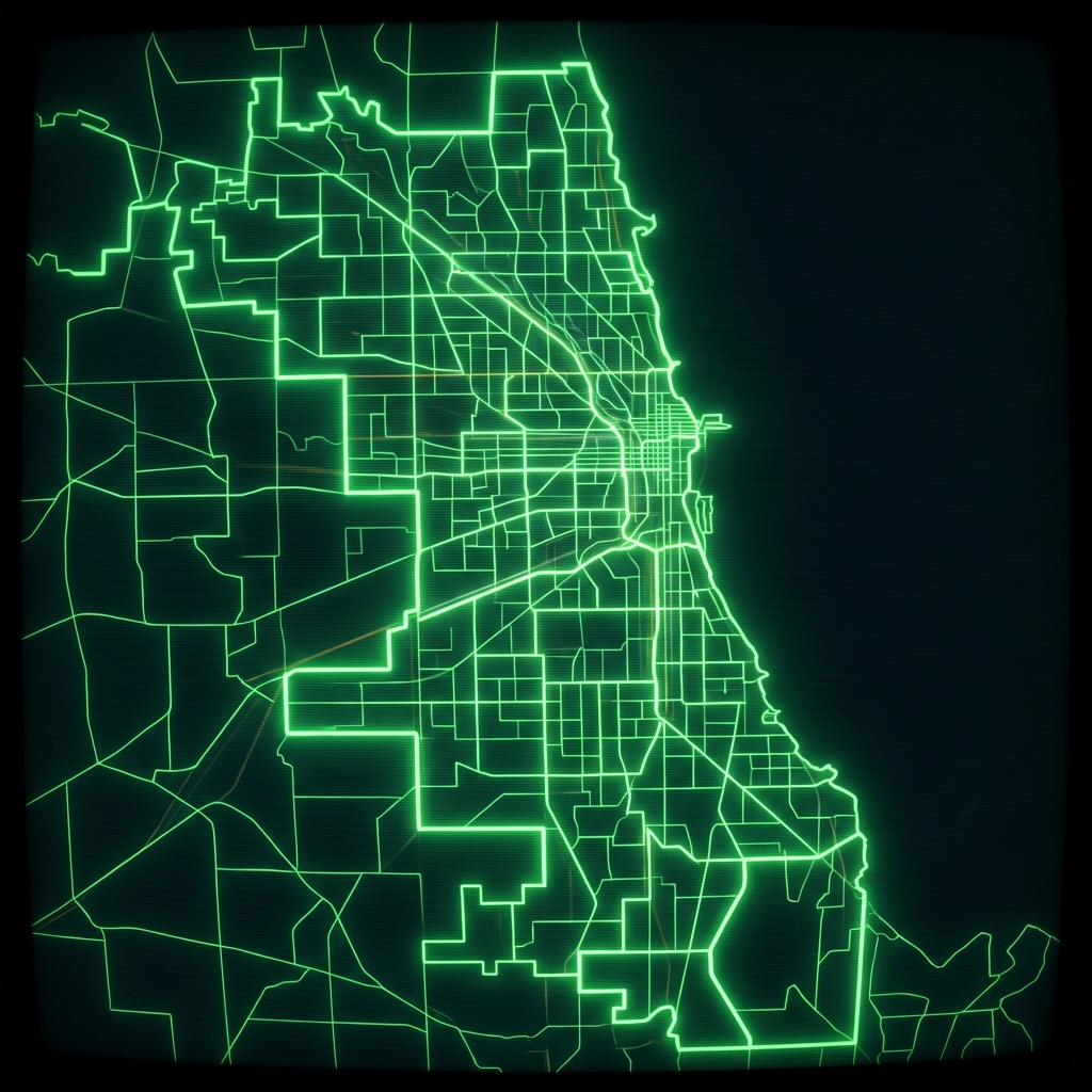 Public Schools Elementary Attendance BoundariesCity of Chicago
 Elementary School Attendance BoundariesCity of Chicago
 Public Schools Middle School Attendance BoundariesCity of Chicago
 Elementary Attendance BoundariesCity of Chicago
 Charter School BoundariesCity of Chicago
 Charter School Preference BoundariesCity of Chicago
 Public Schools Charter School Preference BoundariesCity of Chicago
 Chicago Public Schools - School Locations
 cpsschoollocationssy1415
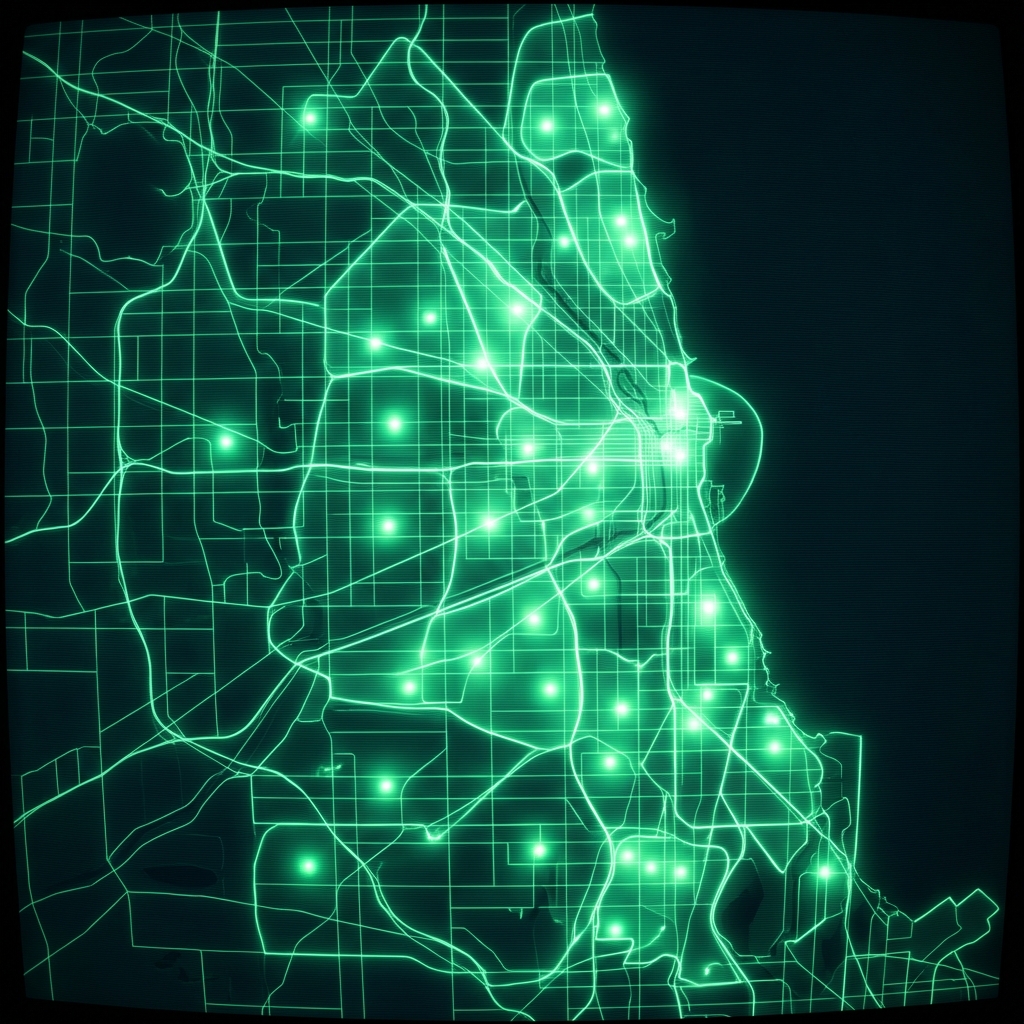 Charter School Preference BoundariesCity of Chicago
 Public School AdmissionsCity of Chicago
 Public Health Clinic LocationsCity of Chicago
 School LocationsCity of New York
 Connect Chicago Locations - HistoricalCity of Chicago
 cpsschoollocations1617
 Community Service CentersCity of Chicago
 High School DistrictsLake County, Illinois
 Mental Health ResourcesCity of Chicago
 Schools (deprecated 2012)City of Chicago