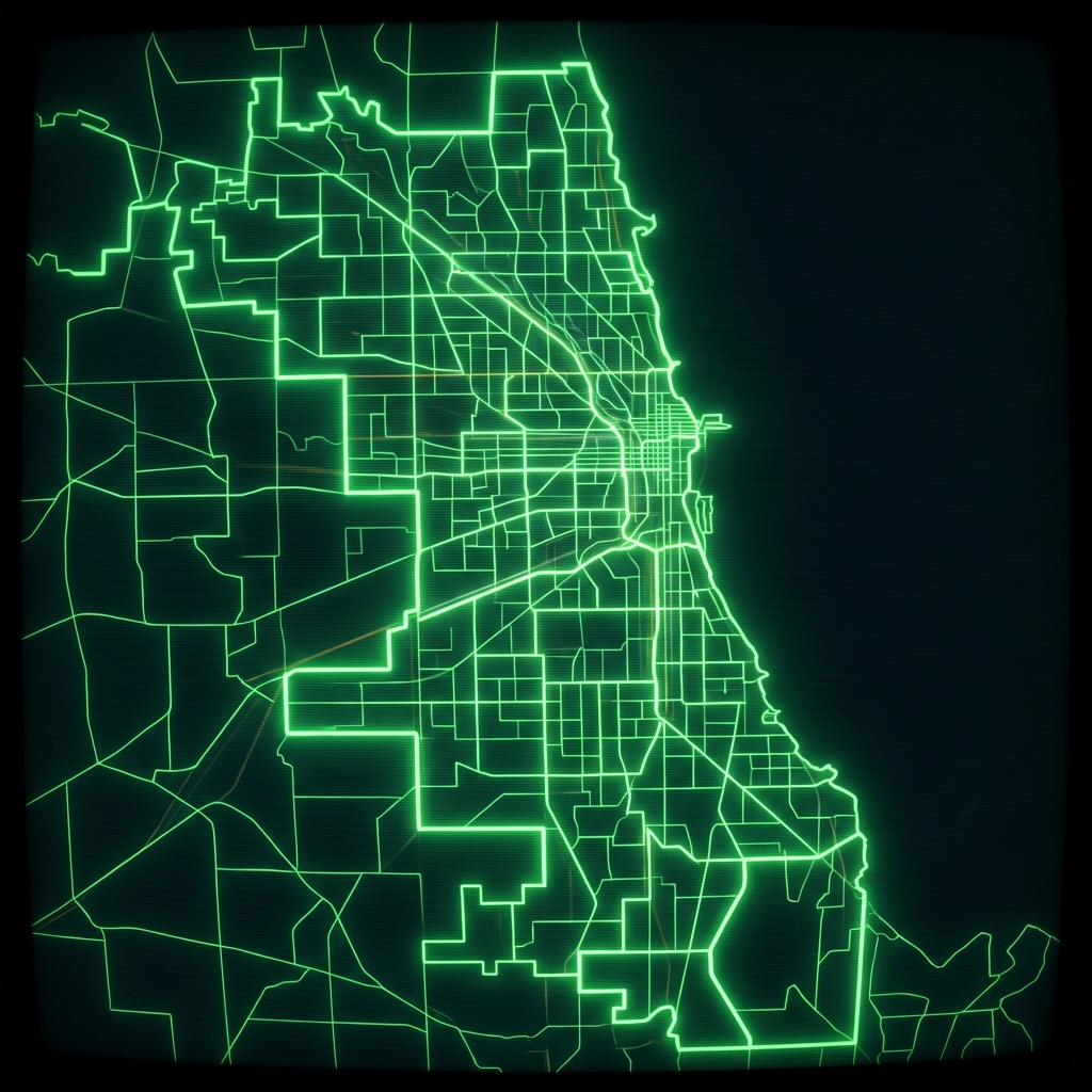
Elementary School Attendance Boundaries
Geographical attendance boundaries for elementary schools in the Chicago Public Schools district for the 2015-2016 school year. Each record defines one school attendance boundary and includes the associated elementary school's name and full address.
| Namebrand | Full Addressaddress | The Geomgeospatial | Boundarygrclassification | Schoolidregistration | Sch Yeartemporal | Grade Catclassification |
|---|---|---|---|---|---|---|
| GOMPERS | 12302 S State St Chicago, IL 60628 | MULTIPOLYGON (((-87.61469570087431 41.674310951385 | K, 1, 2, 3, 4, 5, 6, 7, 8 | 609943 | 2015-2016 | ES |
| ARMSTRONG, G | 2110 W Greenleaf Ave Chicago, IL 60645 | MULTIPOLYGON (((-87.68838321232218 42.019519113478 | K, 1, 2, 3, 4, 5, 6, 7, 8 | 609779 | 2015-2016 | ES |
| OGDEN | 24 W Walton St Chicago, IL 60610 | MULTIPOLYGON (((-87.62466938781398 41.911238033720 | K, 1, 2, 3, 4, 5, 6, 7, 8 | 610101 | 2015-2016 | ES |
Residential Property Underwriting by School Zone
A mortgage or homeowners insurance underwriter maps a property address against school attendance boundaries to determine which public school serves that address, using school assignment as a proxy signal for neighborhood demand and property valuation stability.
Retail Site Selection for Family-Oriented Businesses
A franchise operator or retail analyst overlays school attendance boundary polygons with demographic and foot traffic data to identify high-density family catchment areas when evaluating new store locations near elementary schools.
EdTech Market Sizing and School Outreach
A sales team at an education technology company uses school names, addresses, and unique school IDs to build a prospecting list of all Chicago Public Schools elementary campuses, prioritizing outreach by geographic cluster and grade coverage.
 Public Schools Elementary Attendance BoundariesCity of Chicago
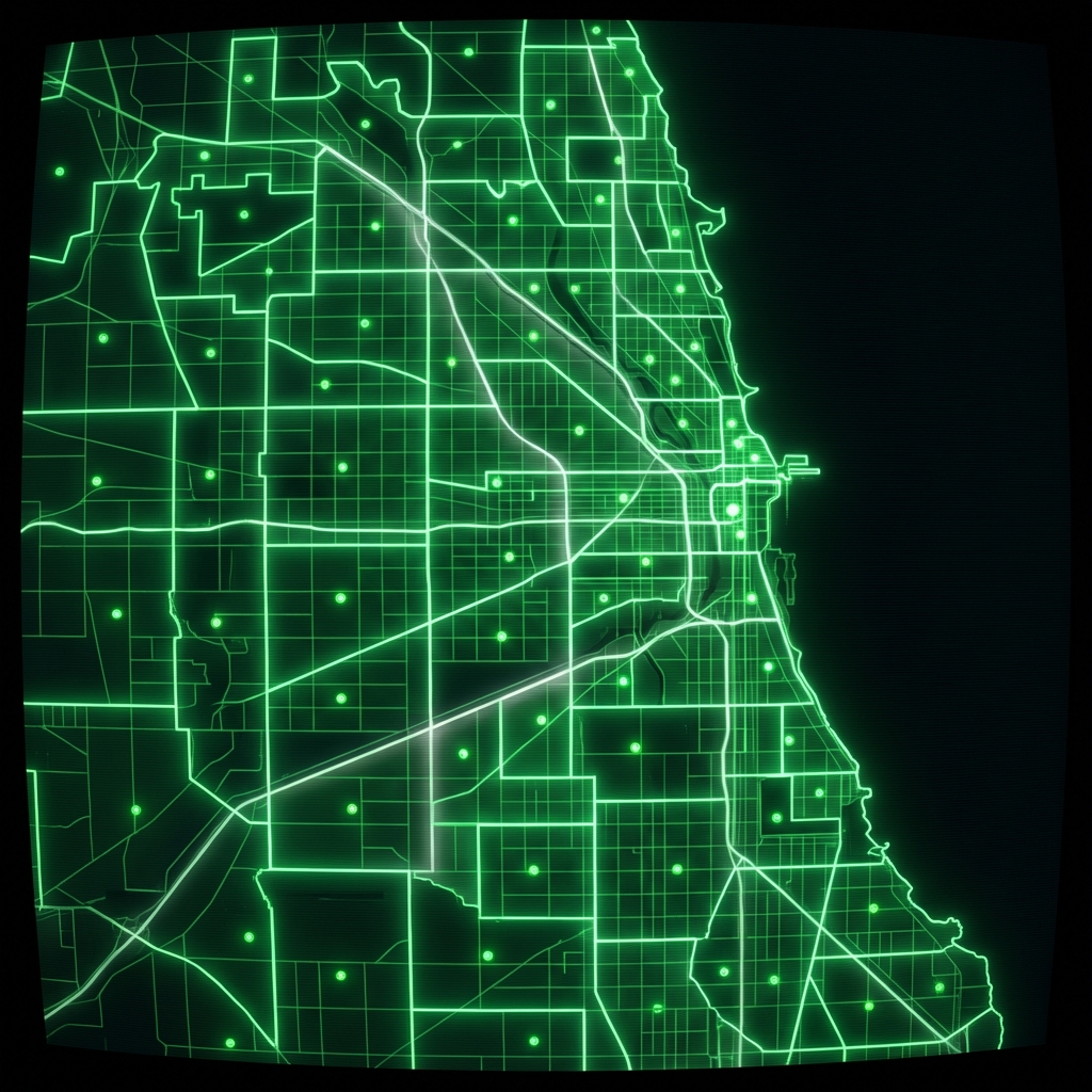 Elementary Attendance BoundariesCity of Chicago
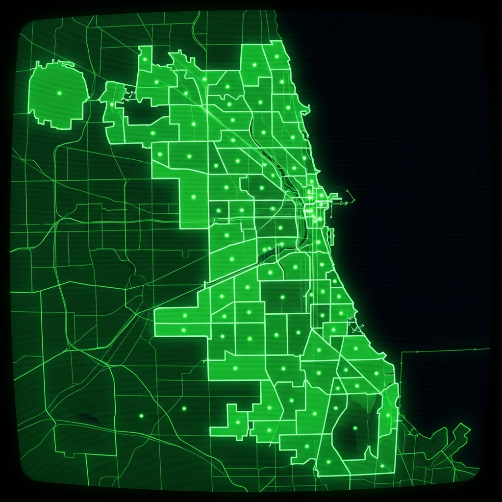 High School Attendance BoundariesCity of Chicago
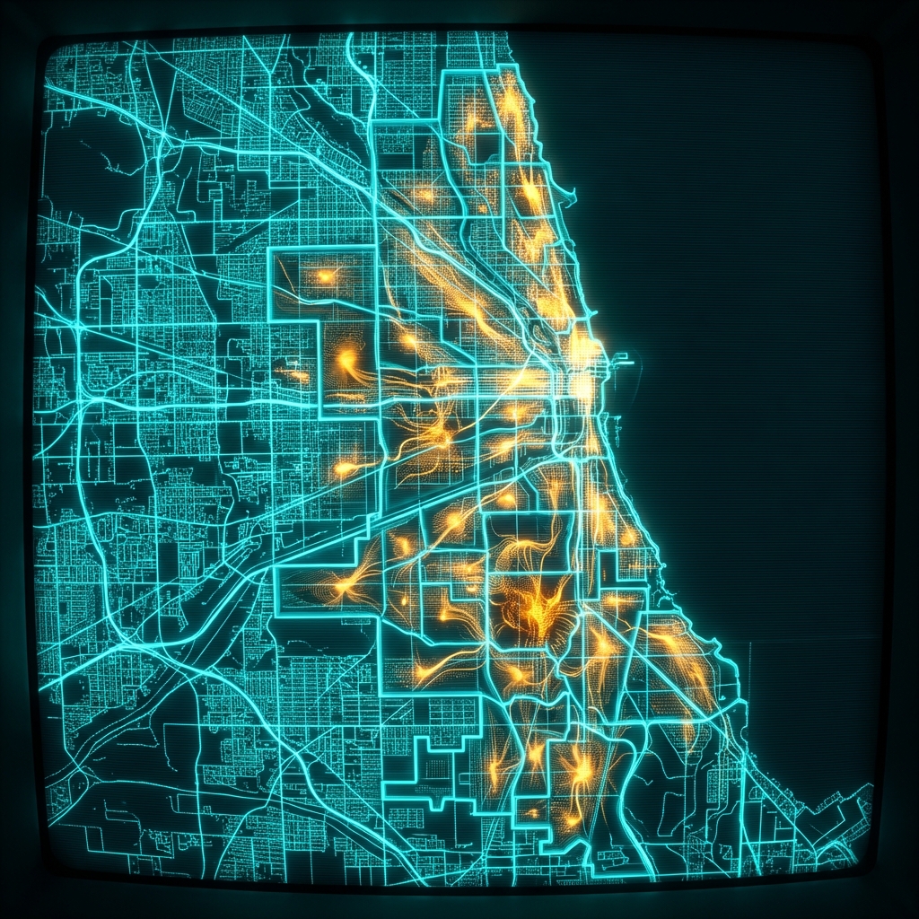 Public Schools Middle School Attendance BoundariesCity of Chicago
 Public Schools High School Attendance BoundariesCity of Chicago
 Charter School BoundariesCity of Chicago
 Charter School Preference BoundariesCity of Chicago
 Charter School Preference BoundariesCity of Chicago
 cpsschoollocationssy1415
 Chicago Public Schools - School Locations
 Public Schools Charter School Preference BoundariesCity of Chicago
 Public School AdmissionsCity of Chicago
 Schools (deprecated 2012)City of Chicago
 cpsschoollocations1617
 Elementary SchoolsCity of Ferndale, Michigan
 Public School ProfilesCity of Chicago
 School LocationsCity of New York
 Community Service CentersCity of Chicago
 Public Schools - School Progress ReportsCity of Chicago
 Elementary Schools, by Top to Bottom PercentileCity of Ferndale, Michigan