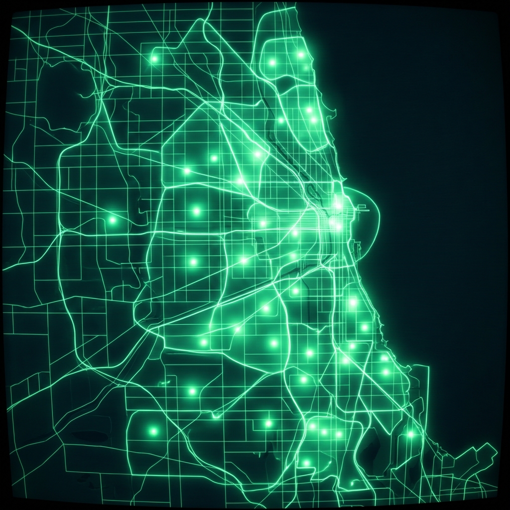
Charter School Preference Boundaries
Geographic preference boundaries used during admissions lotteries at selected Chicago Public Schools charter schools for the 2017-2018 school year. Each boundary links to a specific charter school name and address.
| Namebrand | Full Addressaddress | Objectididentifier | The Geomgeospatial | School IDregistration | Boundarygrclassification | Sch Typeclassification | Brd Rptregistration | Shape Lengquantity | Shape Areaquantity |
|---|---|---|---|---|---|---|---|---|---|
| U OF C - NKO | 1119 E 46TH ST | 16 | MULTIPOLYGON (((-87.61649640523845 41.805741856454 | 400076 | PK, K, 1, 2, 3, 4, 5 | Charter | 08-0123-EX4; 11-0223-EX3 | 32364.7906421 | 49303940.305 |
| NOBLE - ITW SPEER HS | 2456 N MANGO AVE, 60639 | 15 | MULTIPOLYGON (((-87.8065516565597 42.0187183370917 | 400169 | 9, 10, 11, 12 | Charter | 14-0423-EX10 | 256487.009038 | 993025829.205 |
| U OF C - WOODLAWN HS | 6420 S UNIVERSITY AVE, 60637 | 14 | MULTIPOLYGON (((-87.57283514404952 41.779280746629 | 400077 | 6, 7, 8, 9, 10, 11, 12 | Charter | 06-0322-EX11 | 39089.5082094 | 44476135.0937 |
Charter Network Footprint Mapping for Market Entry
An education-focused real estate developer assessing sites for tutoring centers or student housing maps the geographic catchment zones of charter schools to identify neighborhoods with high concentrations of charter enrollment demand and underserved gaps between school locations.
Vendor Due Diligence on Charter School Operators
A fintech lender evaluating a loan application from a charter school management organization cross-references the applicant's trade name and address against publicly registered school identifiers to confirm the operator is an active, government-recognized institution with a defined service area.
Insurance Underwriting for Student Transportation Risk
A commercial insurer pricing a student transportation policy for a charter school network uses the preference boundary polygons to calculate route distances, estimate the number of students within each zone, and assess exposure based on the geographic spread of the catchment area.
 Charter School Preference BoundariesCity of Chicago
 Public Schools Charter School Preference BoundariesCity of Chicago
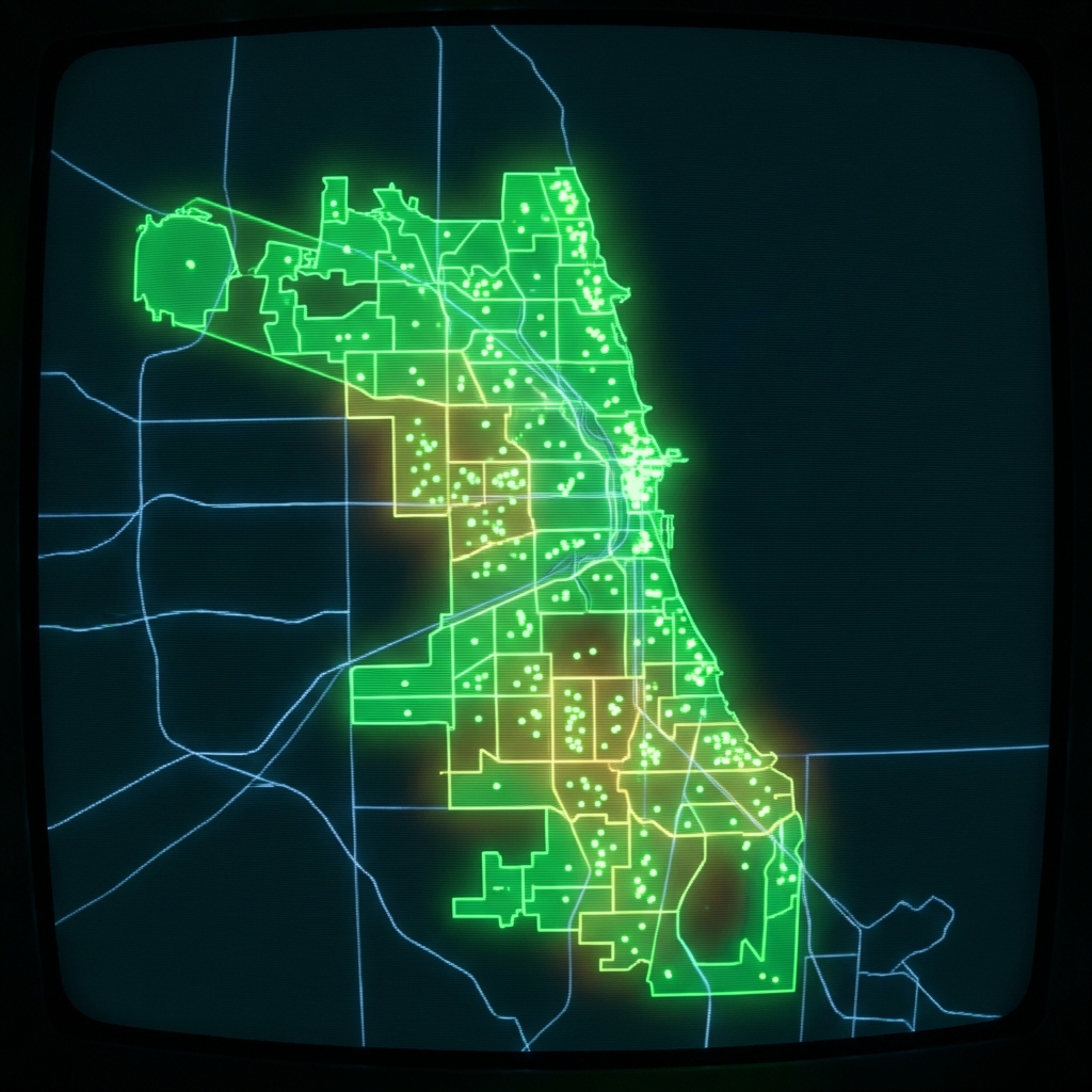 Charter School BoundariesCity of Chicago
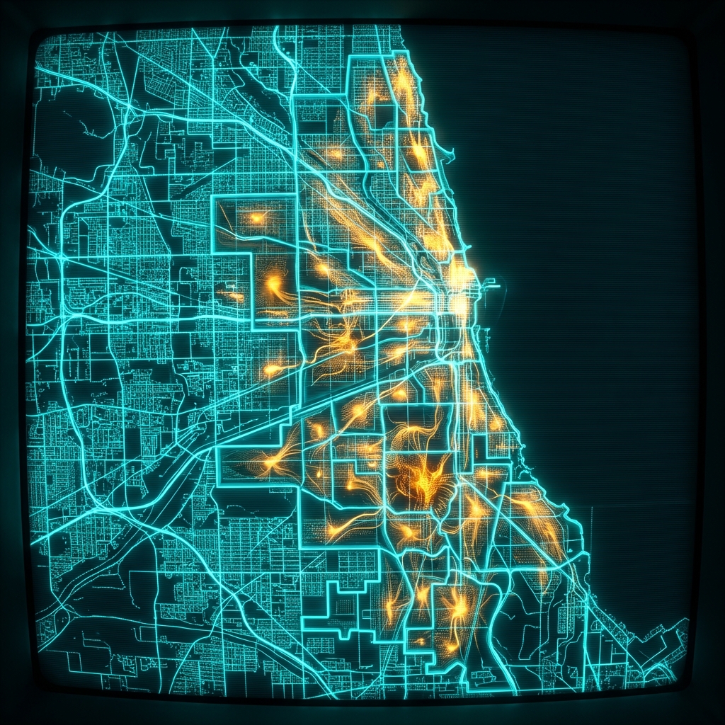 Public Schools Middle School Attendance BoundariesCity of Chicago
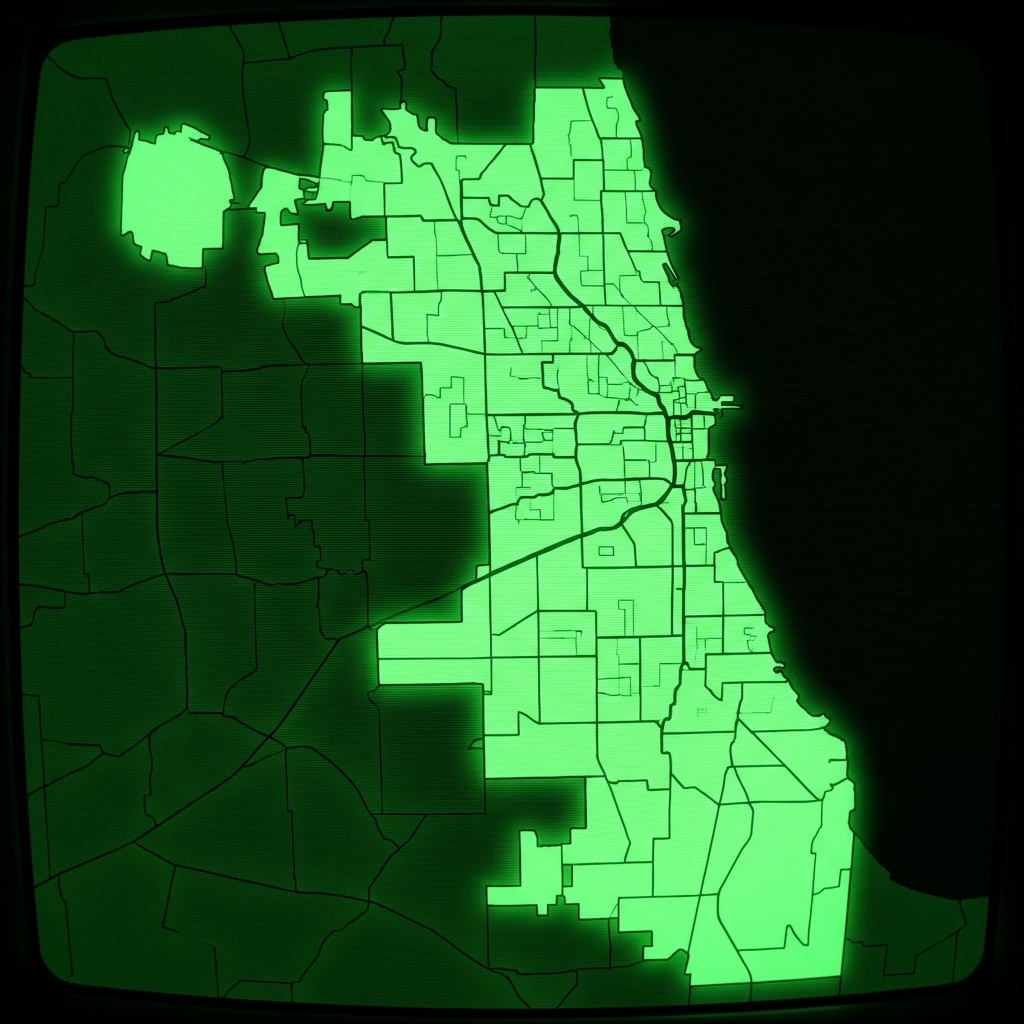 Elementary School Attendance BoundariesCity of Chicago
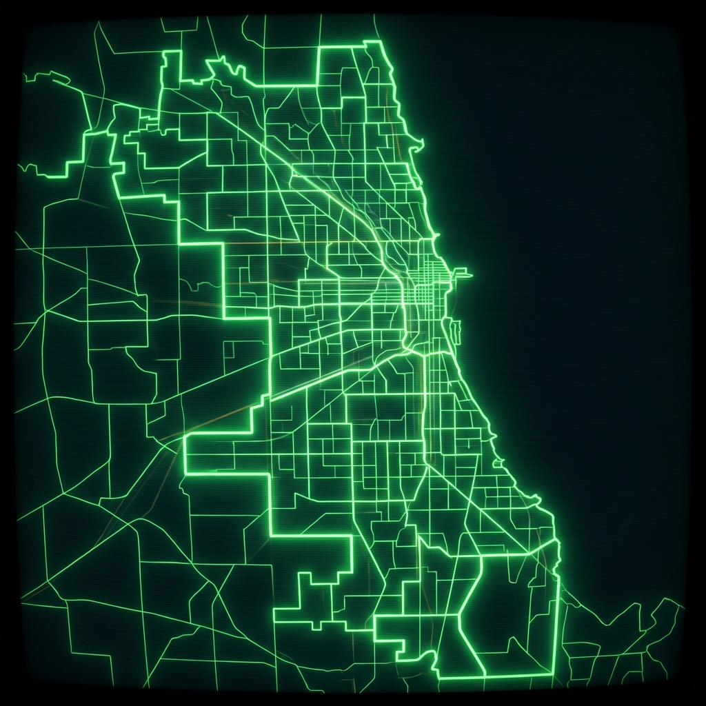 Public Schools Elementary Attendance BoundariesCity of Chicago
 Public Schools High School Attendance BoundariesCity of Chicago
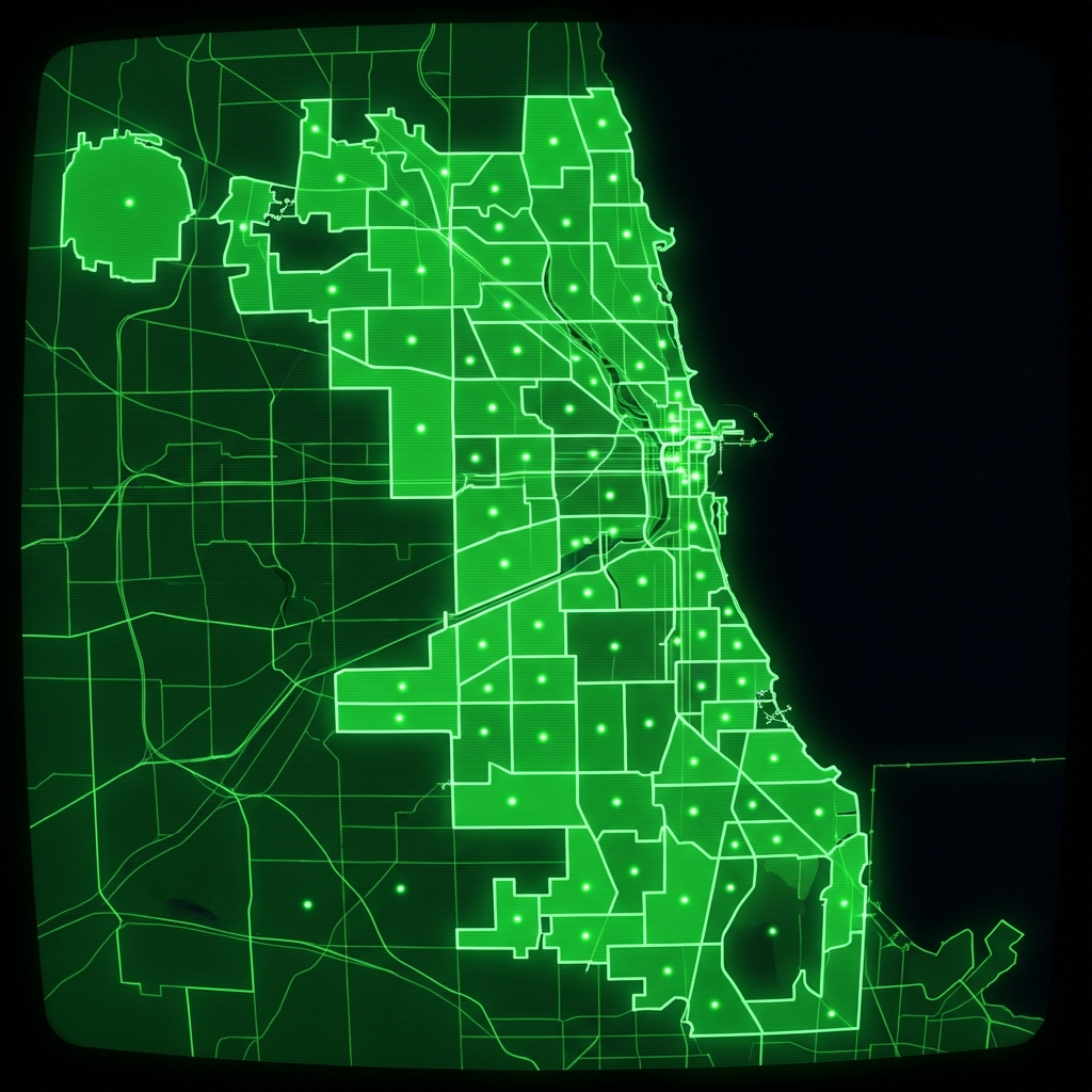 High School Attendance BoundariesCity of Chicago
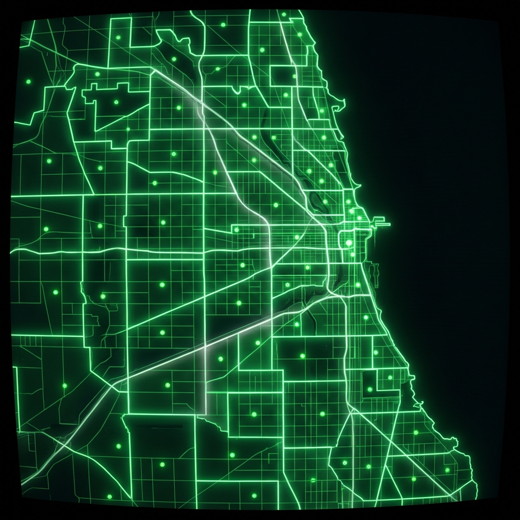 Elementary Attendance BoundariesCity of Chicago
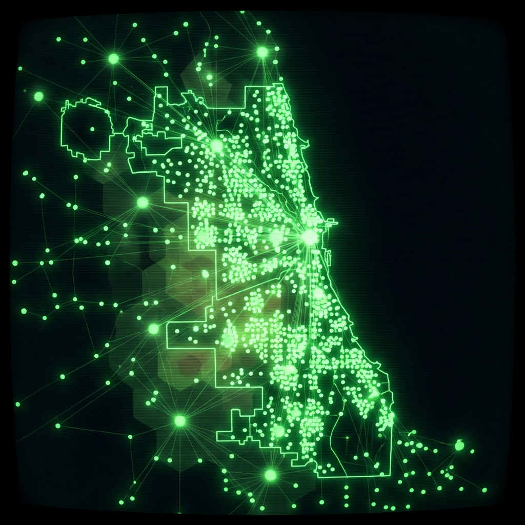 Chicago Public Schools - School Locations
 Public Schools - School Progress ReportsCity of Chicago
 Public School ProfilesCity of Chicago
 Public School AdmissionsCity of Chicago
 cpsschoollocationssy1415
 cpsschoollocations1617
 Schools (deprecated 2012)City of Chicago
 School LocationsCity of New York
 Early Learning ProgramsCity of Chicago
 Elementary School Service AreasMontgomery County of Maryland
 Community Service CentersCity of Chicago