Public Schools Charter School Preference Boundaries
Geographic preference boundaries for selected charter schools in the Chicago Public Schools district during the 2020-2021 school year. Each area maps an admissions lottery zone to a specific school and address.
| School Namebrand | School IDregistration | School Typeclassification | Grade Catclassification | Geometrygeospatial |
|---|---|---|---|---|
| ASPIRA - Ramirez Elementary Charter School | 610513 | Charter | ES | MULTIPOLYGON(((-87.72 41.89,...))) |
| Chicago Virtual Charter School | 400035 | Charter | ES | MULTIPOLYGON(((-87.63 41.85,...))) |
| KIPP Ascend Charter School | 400109 | Charter | ES | MULTIPOLYGON(((-87.75 41.90,...))) |
Real Estate Market Segmentation by School Access
A proptech company building a home valuation model overlays charter school preference boundaries against residential parcel data to quantify how proximity to a lottery-eligible zone affects listing prices and buyer demand in specific Chicago neighborhoods.
Retail Site Selection Near Enrollment Catchment Areas
A children's education services retailer uses the preference boundary polygons to identify high-density family zones where households are actively engaged in school choice decisions, prioritizing store placement or direct mail campaigns in those areas.
Insurance Underwriting for School-Adjacent Commercial Properties
A commercial property insurer cross-references charter school boundary polygons with claims history to assess whether properties inside active enrollment zones carry different foot traffic patterns, liability exposure, or vandalism rates compared to surrounding blocks.
 Charter School Preference BoundariesCity of Chicago
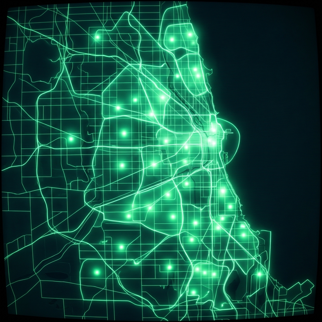 Charter School Preference BoundariesCity of Chicago
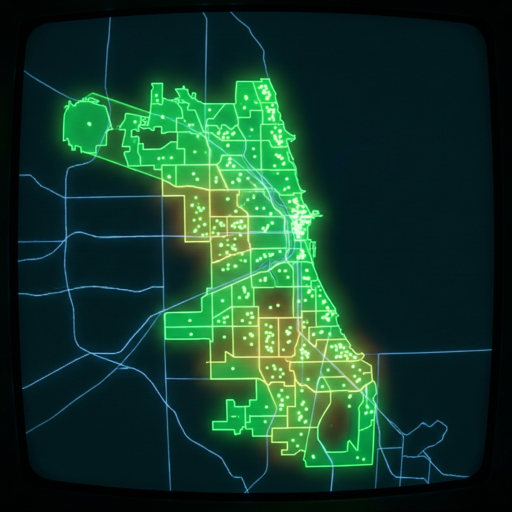 Charter School BoundariesCity of Chicago
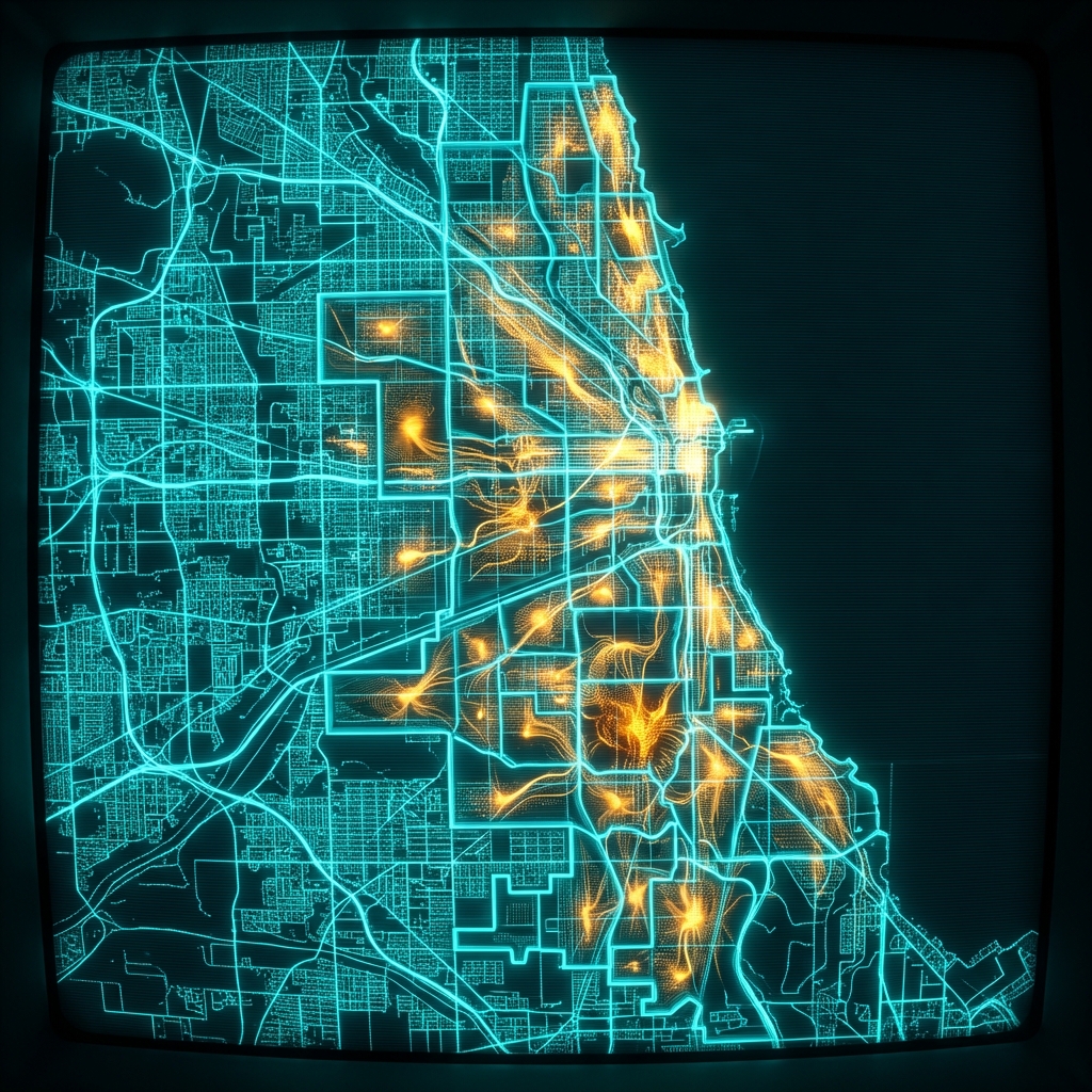 Public Schools Middle School Attendance BoundariesCity of Chicago
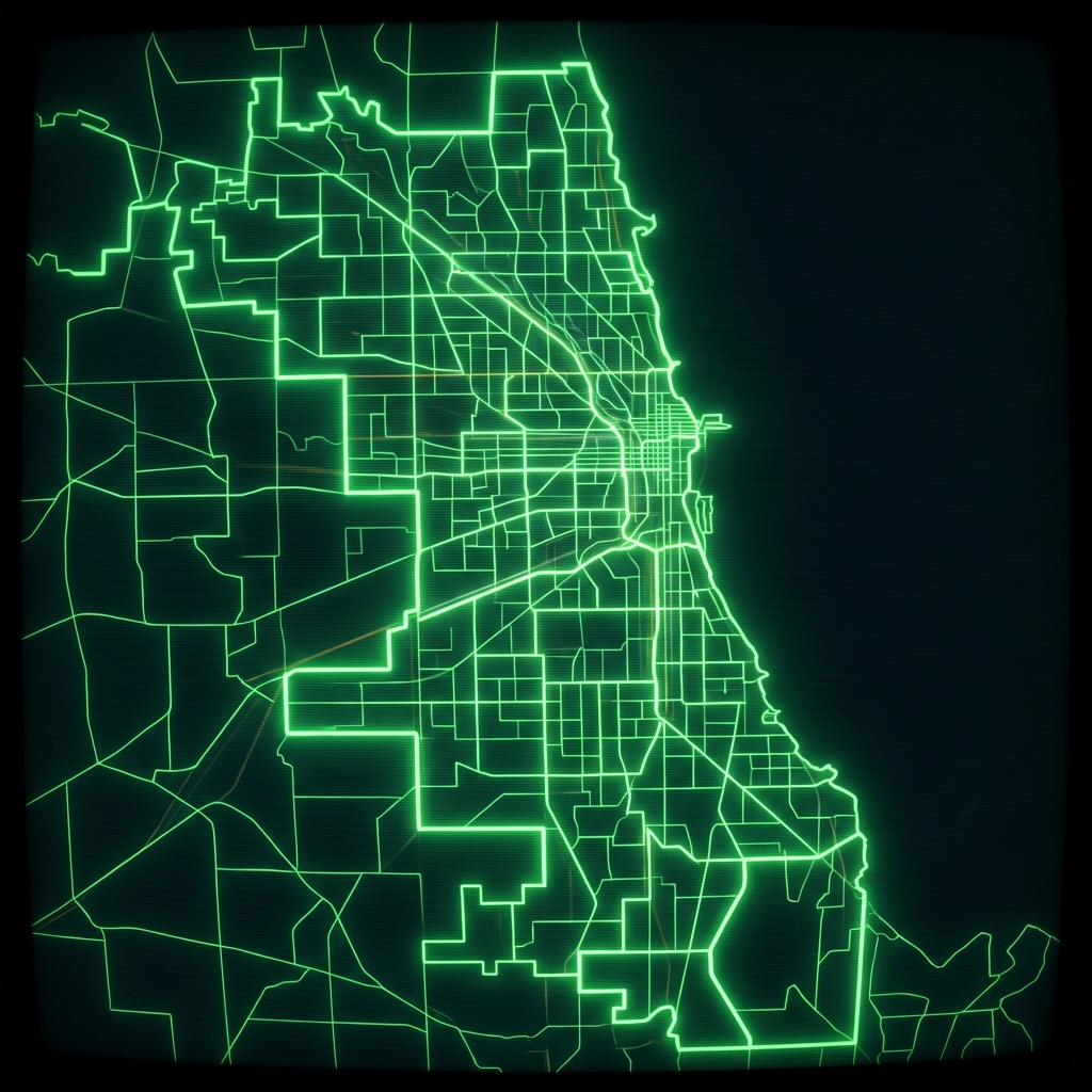 Public Schools Elementary Attendance BoundariesCity of Chicago
 Public Schools High School Attendance BoundariesCity of Chicago
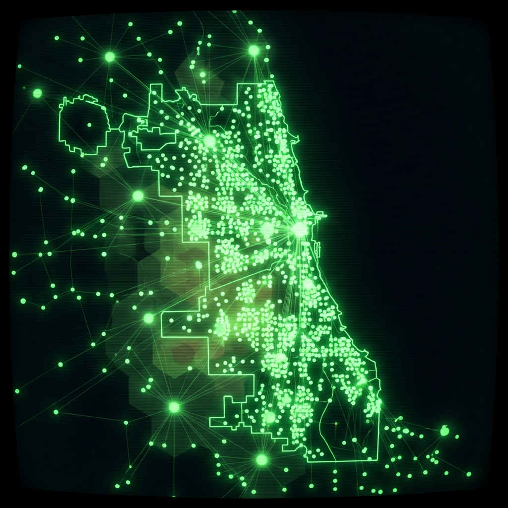 Chicago Public Schools - School Locations
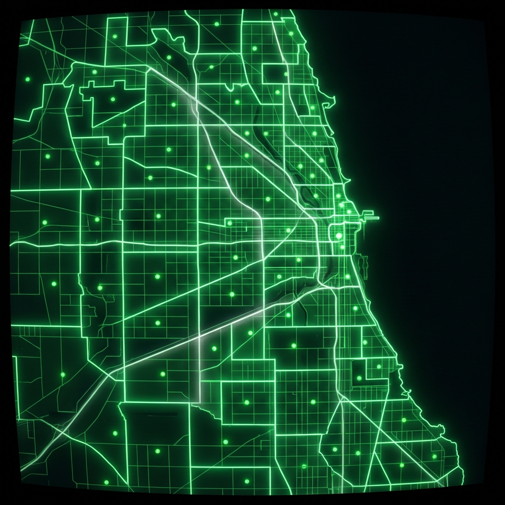 Elementary Attendance BoundariesCity of Chicago
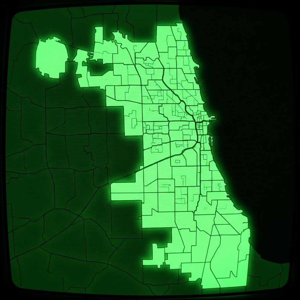 Elementary School Attendance BoundariesCity of Chicago
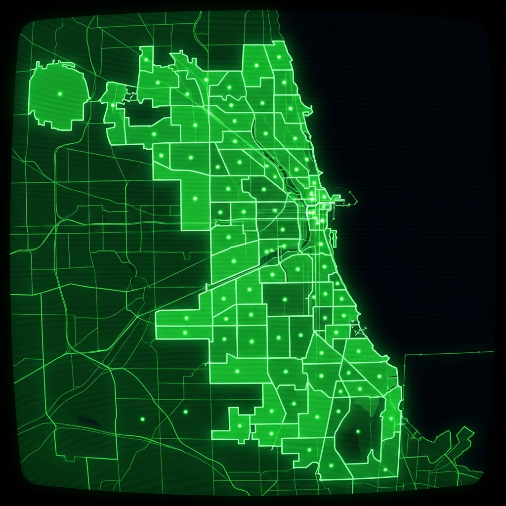 High School Attendance BoundariesCity of Chicago
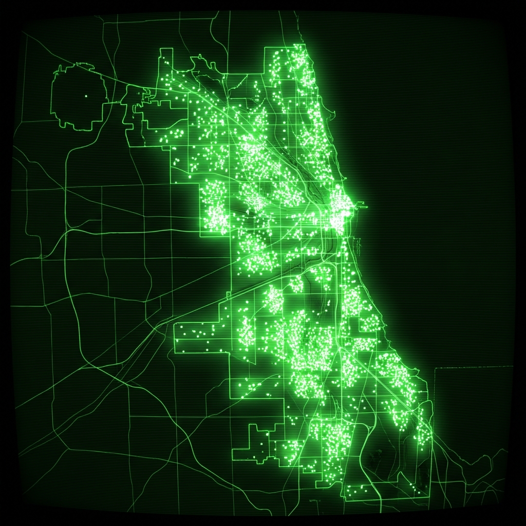 cpsschoollocationssy1415
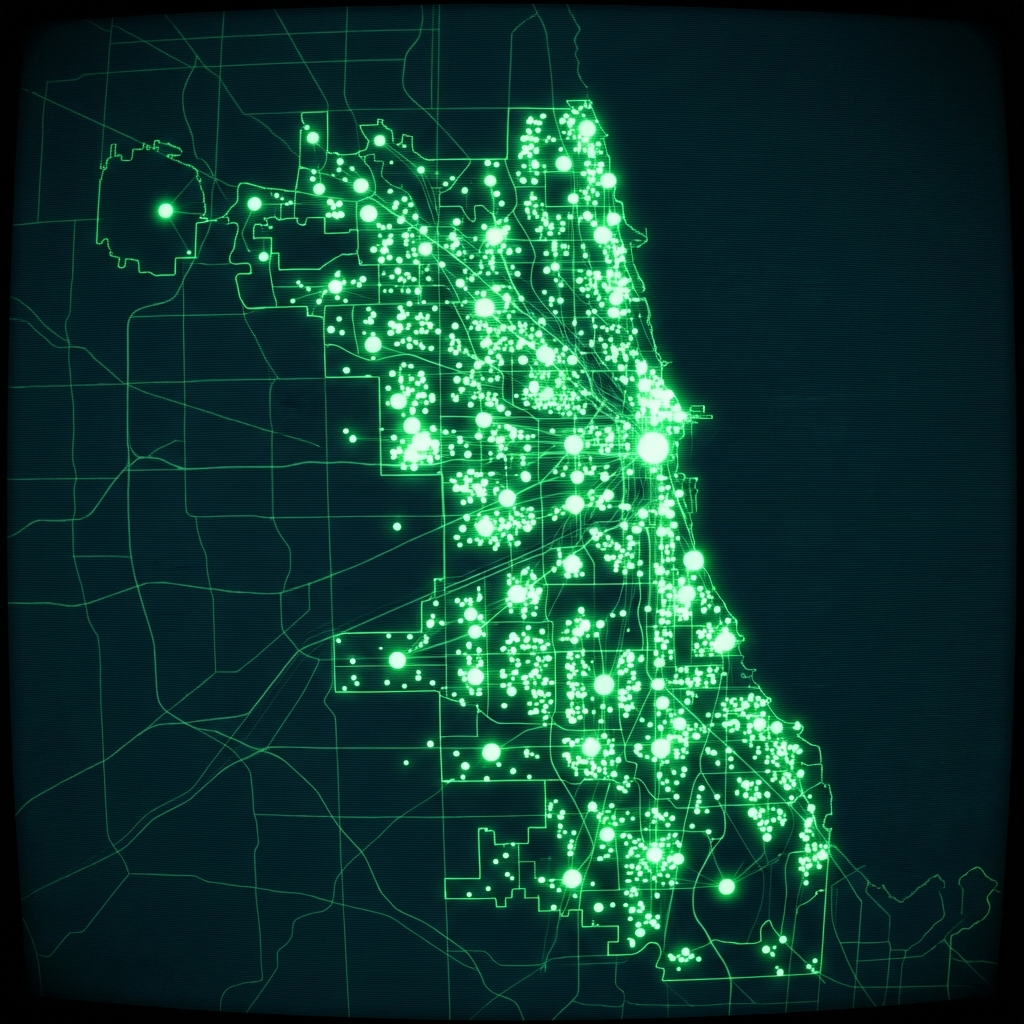 cpsschoollocations1617
 Public Schools - School Progress ReportsCity of Chicago
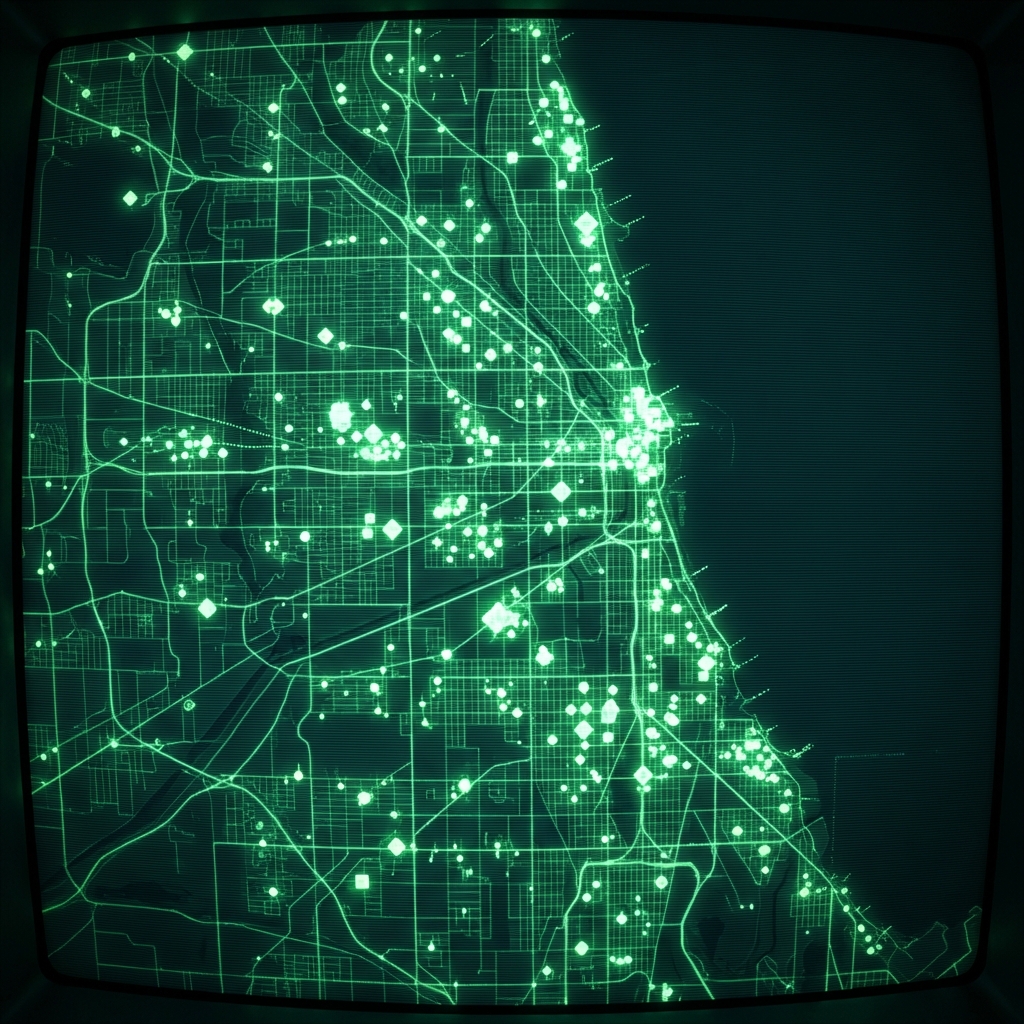 Public School ProfilesCity of Chicago
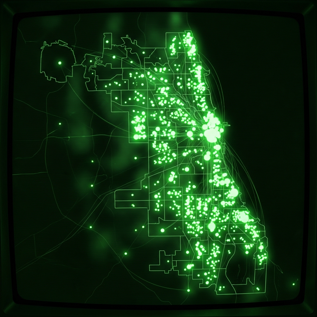 Public School AdmissionsCity of Chicago
 Schools (deprecated 2012)City of Chicago
 School LocationsCity of New York
 Public Health Clinic LocationsCity of Chicago
 Contractor Business Diversity Program ReportsCity of Chicago
 Community Service CentersCity of Chicago