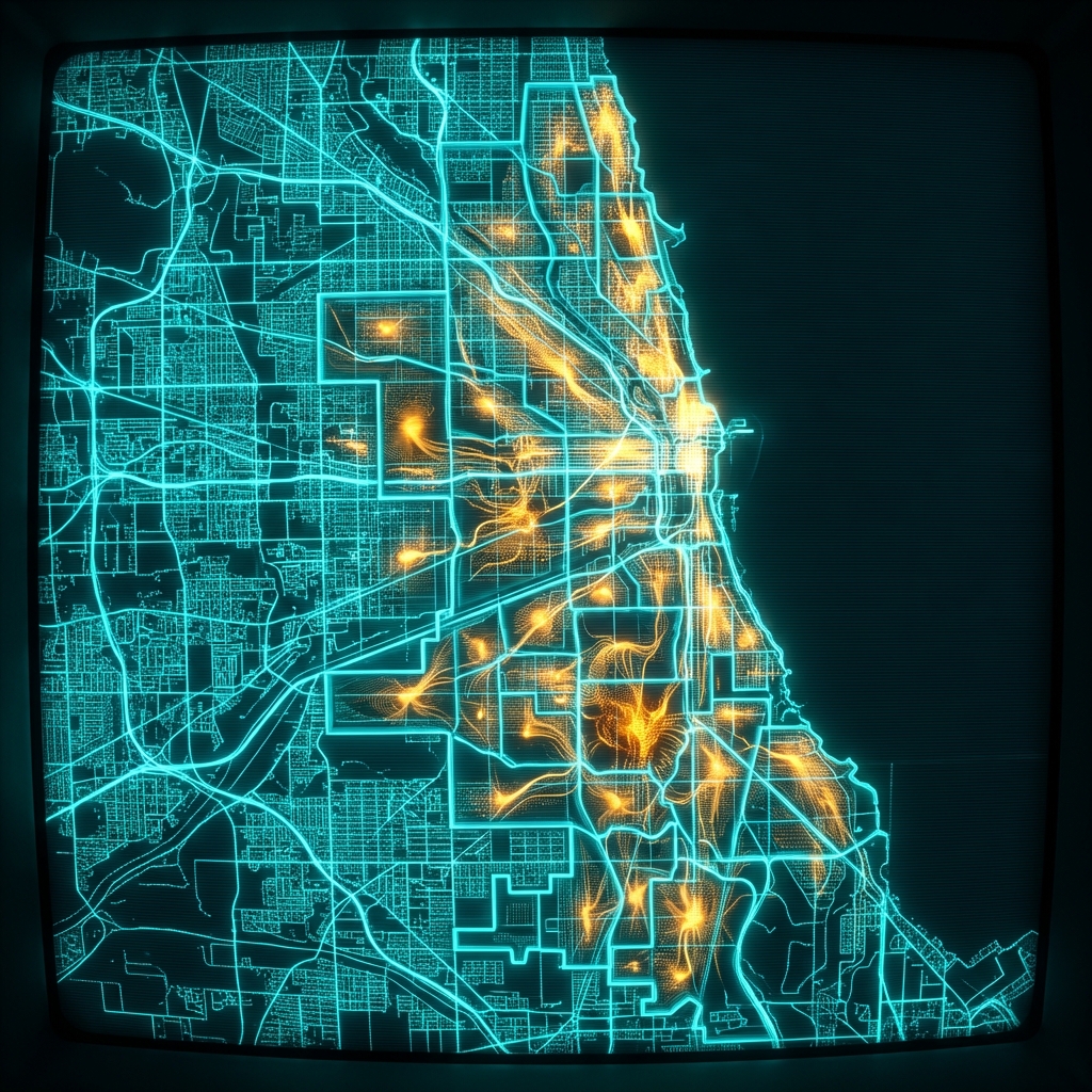
Public Schools High School Attendance Boundaries
Geographic attendance boundaries for high schools in the Chicago Public Schools district for the 2022-2023 school year. Each record includes the polygon geometry for a boundary, along with the corresponding school name, school ID, and the school year.
| School IDregistration | School Nmbrand | The Geomgeospatial | School Typeclassification | Community Areageographic |
|---|---|---|---|---|
| 609720 | Albert G Lane Technical High School | MULTIPOLYGON (((-87.71... ))) | NEIGHBORHOOD HS | AVONDALE |
| 610513 | Air Force Academy High School | MULTIPOLYGON (((-87.69... ))) | NEIGHBORHOOD HS | WEST PULLMAN |
| 609780 | Julian High School | MULTIPOLYGON (((-87.65... ))) | NEIGHBORHOOD HS | AUBURN GRESHAM |
Retail Site Selection by School Catchment Zone
A retail real estate analyst at a children's apparel or tutoring franchise uses school attendance boundaries to estimate the residential population feeding into each high school, then overlays household income data to prioritize store placement in neighborhoods with the highest concentration of high school age consumers.
Insurance Territory Underwriting for Renters and Auto Policies
An underwriter at a property and casualty insurer maps school attendance zones against claims history to assess whether proximity to certain school catchment areas correlates with theft, vandalism, or traffic incident frequency, informing territory-level pricing adjustments.
EdTech Market Sizing and Sales Territory Assignment
A sales operations manager at an education technology company divides Chicago into sales territories by assigning account executives to clusters of high schools, using boundary polygons to avoid overlap and estimate the number of students and teachers within each rep's coverage area.
 Public Schools Middle School Attendance BoundariesCity of Chicago
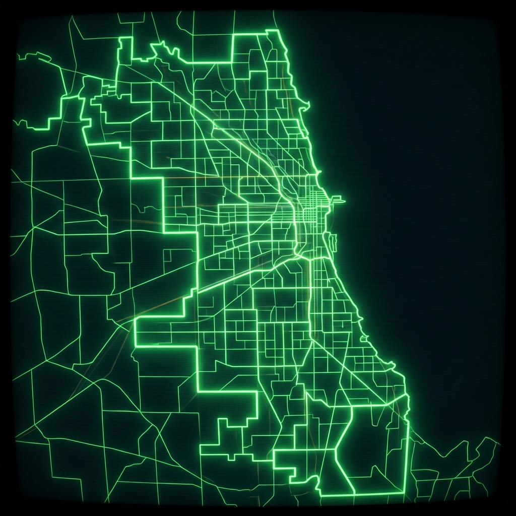 Public Schools Elementary Attendance BoundariesCity of Chicago
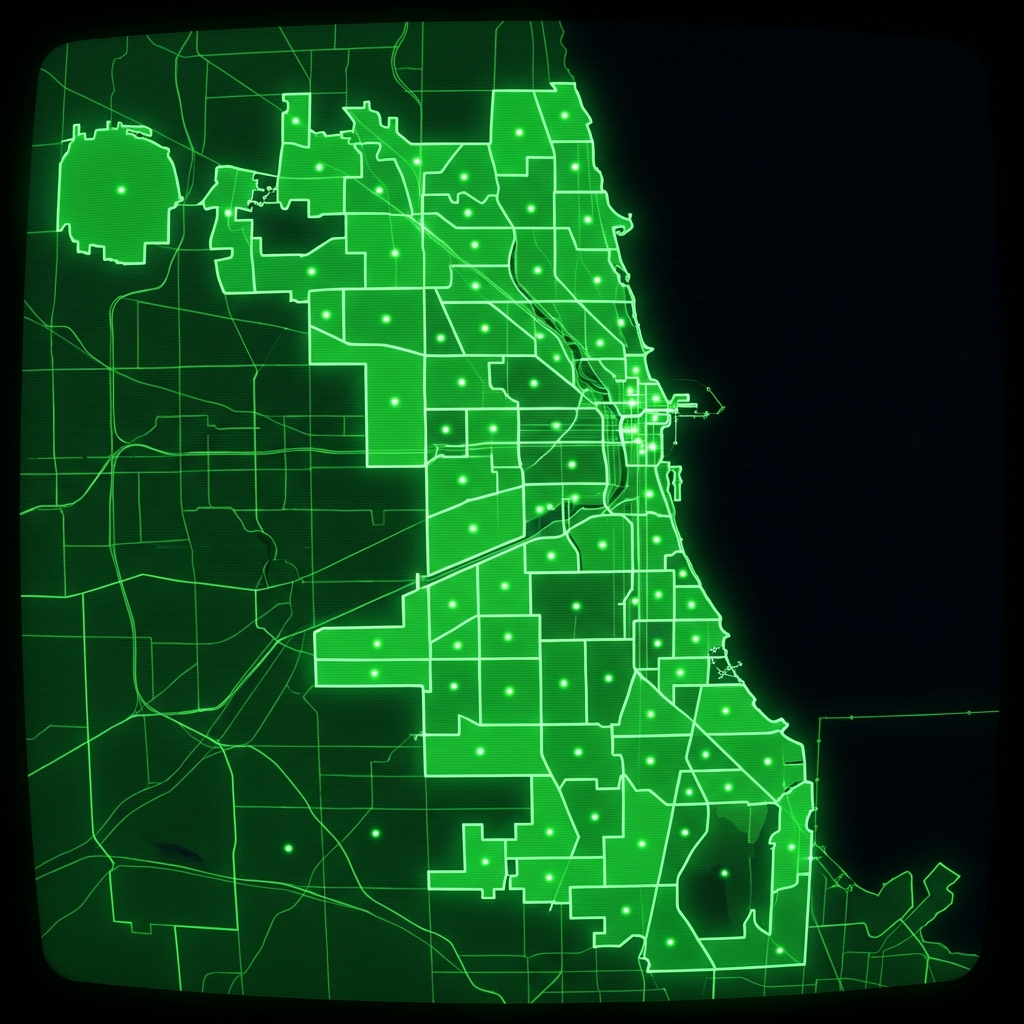 High School Attendance BoundariesCity of Chicago
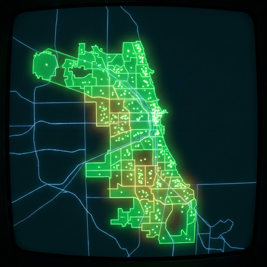 Charter School BoundariesCity of Chicago
 Elementary Attendance BoundariesCity of Chicago
 Public Schools Charter School Preference BoundariesCity of Chicago
 Elementary School Attendance BoundariesCity of Chicago
 Chicago Public Schools - School Locations
 Charter School Preference BoundariesCity of Chicago
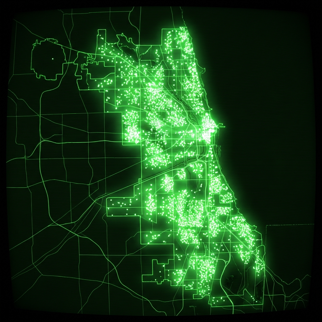 cpsschoollocationssy1415
 Charter School Preference BoundariesCity of Chicago
 cpsschoollocations1617
 Public School AdmissionsCity of Chicago
 School LocationsCity of New York
 Schools (deprecated 2012)City of Chicago
 Public Schools - School Progress ReportsCity of Chicago
 Public School ProfilesCity of Chicago
 Public Health Clinic LocationsCity of Chicago
 Community Service CentersCity of Chicago
 Connect Chicago Locations - HistoricalCity of Chicago