Intermodal Passenger Connectivity Database
The Intermodal Passenger Connectivity Database (IPCD) identifies and describes existing and planned connections between passenger transportation modes across the United States. Each record details specific intermodal connection points, including location, facility types, and linked transportation services.
| Name | Cityaddress | Stateaddress | ZIP Codeaddress | Objectididentifier | Xgeospatial | Ygeospatial | Fac IDregistration | Point IDidentifier | Near ID 1identifier | Near ID 2identifier | Near ID 3identifier |
|---|---|---|---|---|---|---|---|---|---|---|---|
| W Station Square Dr & Bessemer Court | Pittsburgh | PA | 15219 | 15488 | -80.00482321 | 40.43376383 | PA1521913 | 19123 | |||
| S 27th St & Sidney St. (Southside Works) | Pittsburgh | PA | 15203 | 15487 | -79.966112 | 40.4279 | PA1520306 | 19122 | |||
| Gateway Plaza | Raleigh | NC | 27604 | 15484 | -78.61415994 | 35.80602091 | NC2760405 | 19119 |
Transit-Adjacent Property Underwriting
A commercial real estate insurer assessing a property near a transit hub cross-references the facility type and active transportation modes at the nearest intermodal point to estimate foot traffic exposure, flood or congestion risk, and business interruption likelihood for the insured location.
Last-Mile Logistics Coverage Gap Analysis
A fintech lender evaluating a small freight or courier business checks whether the borrower's operating zip codes are served by intermodal connection points, using transit mode availability as a proxy for infrastructure quality and operational viability before extending a working capital line.
Mobility Startup Market Sizing
A venture analyst sizing the addressable market for a micromobility or ride-share company counts intermodal connection points by metro area that currently lack bike share infrastructure, identifying cities where a new operator could fill a documented gap in the federal connectivity record.
 Intermodal Freight Facilities Pipeline TerminalsFederal Geographic Data Committee
 National Transit Database Annual ServiceDepartment of Transportation
 Rail Equipment Accident and Incident (Form 54)Department of Transportation
 Rail Equipment AccidentsDepartment of Transportation
 US Motor Carrier Census InformationFederal Motor Carrier Safety Administration
 Transportation Industry Business LicensesState of Washington
 Highway-Rail CrossingsDepartment of Transportation
 Amtrak Real Estate Assets in Opportunity Zones
 Maryland Amtrak Stations
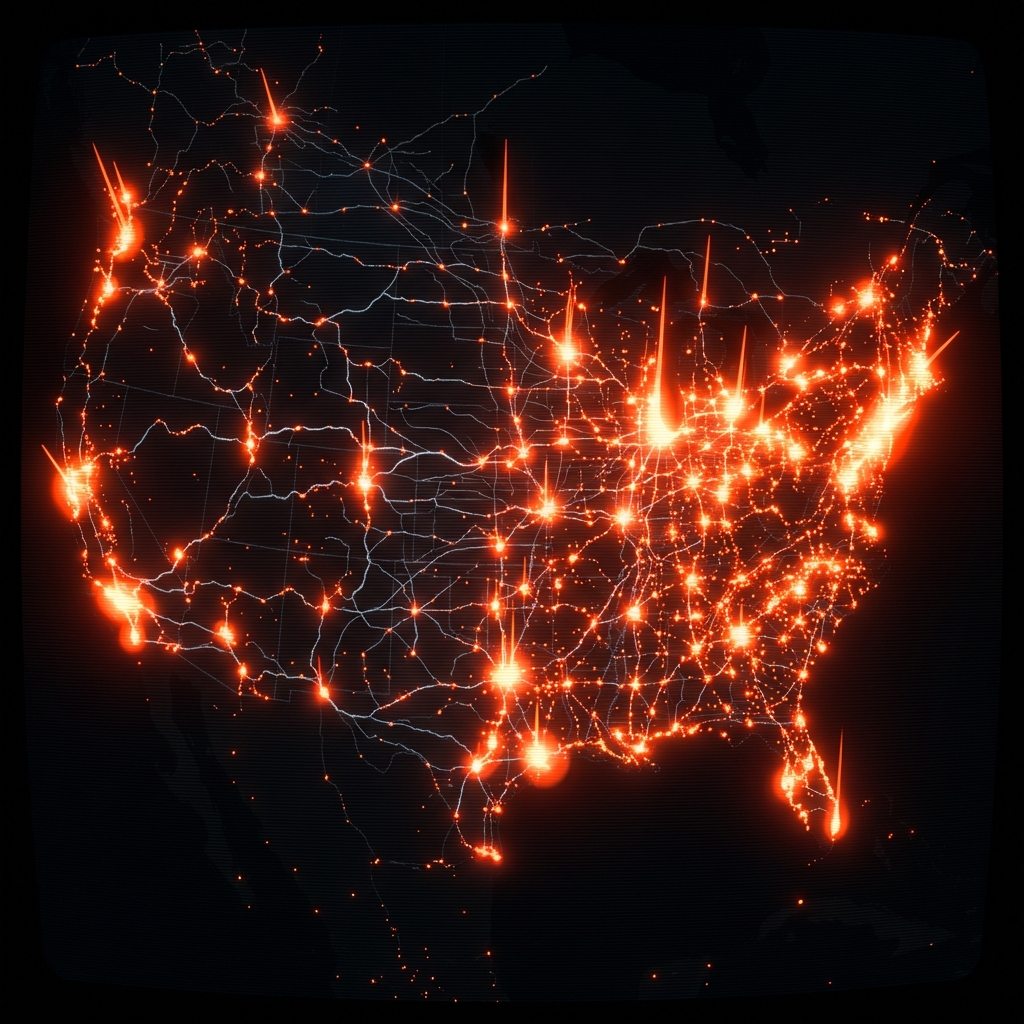 Railroad Equipment Accident and Incident Source (Form 54)Department of Transportation
 Injury and Illness Operational Summary (Form 55)Department of Transportation
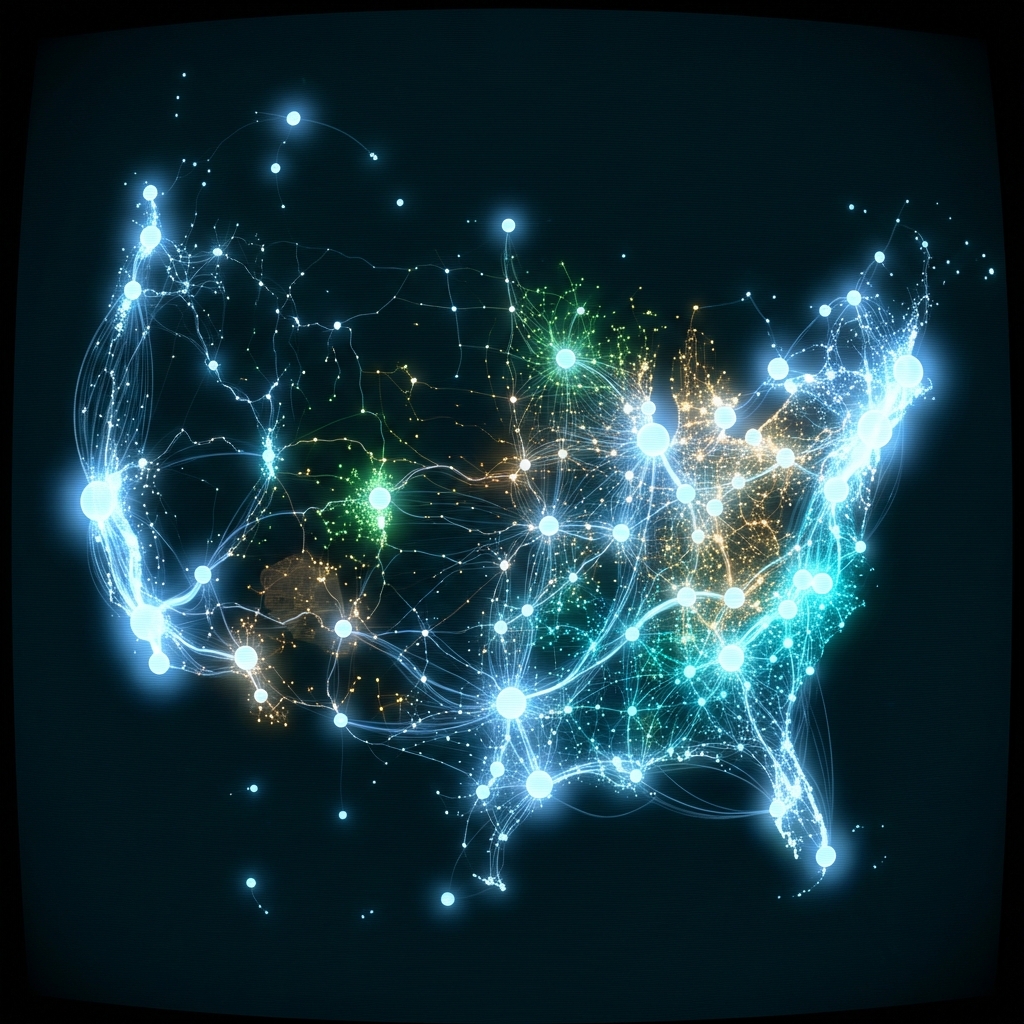 Business DataFederal Laboratory Consortium
 Transmission Facilities Application Status and LocationMontgomery County of Maryland
 Active Rail LinesState of Iowa
 Major Safety EventsDepartment of Transportation
 Connecticut Airports FAAState of Connecticut
 Vehicle RecallsDepartment of Transportation
 Draft Terrestrial Landscape Intactness for 2026-2027 Integrated Resource PlanState of California
 Demand Response Across the Continental USDepartment of Energy
 Commercial Parking LotsMontgomery County of Maryland