Digital Geologic Map, Amistad National Recreation Area
A geologic map covers Amistad National Recreation Area and its surrounding regions in Texas and Mexico. Each record details geological formations, structural features, and stratigraphic units, including their names, ages, and lithologies.
| Namelegal entity | Cityaddress | Stateaddress | ZIP Codeaddress | Street Addressaddress | Full Nameperson | Full Addressaddress | Emailwebsite | Phonephone number | @Sync | Charsetcd.@Sync | Charsetcd.@Value |
|---|---|---|---|---|---|---|---|---|---|---|---|
| Colorado State University | Fort Collins | Colorado | 80525 | 1201 Oak Ridge Drive, Suite 200 | Stephanie O'Meara | 1201 Oak Ridge Drive, Suite 200 | stephanie_omeara@colostate.edu | 9704916655 |
Vendor Credential Check for Federal Geospatial Contractors
A procurement officer at a federal agency or prime contractor vetting a geospatial subcontractor checks whether the named institution and individual contact have a documented history of producing federally accepted geologic datasets, and whether their stated role aligns with the scope of work proposed.
Insurance Underwriting for Land Use Near Protected Federal Areas
An underwriter assessing a commercial or infrastructure project near a national recreation area uses the geologic formation data and jurisdictional unit codes to evaluate subsurface risk factors such as karst geology or fault proximity that could affect property insurability or construction bonding.
KYB Verification of University Research Contractors
A fintech platform onboarding a university-affiliated research firm as a business customer cross-references the institution name, mailing address, and contact details against public records to confirm the entity is a legitimate operating organization and not a shell or impersonation.
 Digital Geologic Map, Carta Valley Fault Zone, TexasDepartment of the Interior
 BLM Locatable Mineral Plans of OperationsDepartment of the Interior
 Mines (Division of Mining and Reclamation)State of California
 Digital Geologic Map of the Bear Paw Battlefield Unit and Vicinity, Nez Perce National Historical Park, Montana (NPS, GRD, GRI, NEPE, BEPA digital map)Department of the Interior
 BLM Locatable Mineral Notice Operations
 Outdoor Recreation Sites InventoryVermont Center for Geographic Information
 Draft Terrestrial Landscape Intactness for 2026-2027 Integrated Resource PlanState of California
 30x30 Conserved Areas, TerrestrialState of California
 BLM Oil Shale LeasesDepartment of the Interior
 Bureau of Land Management Coal CasesDepartment of the Interior
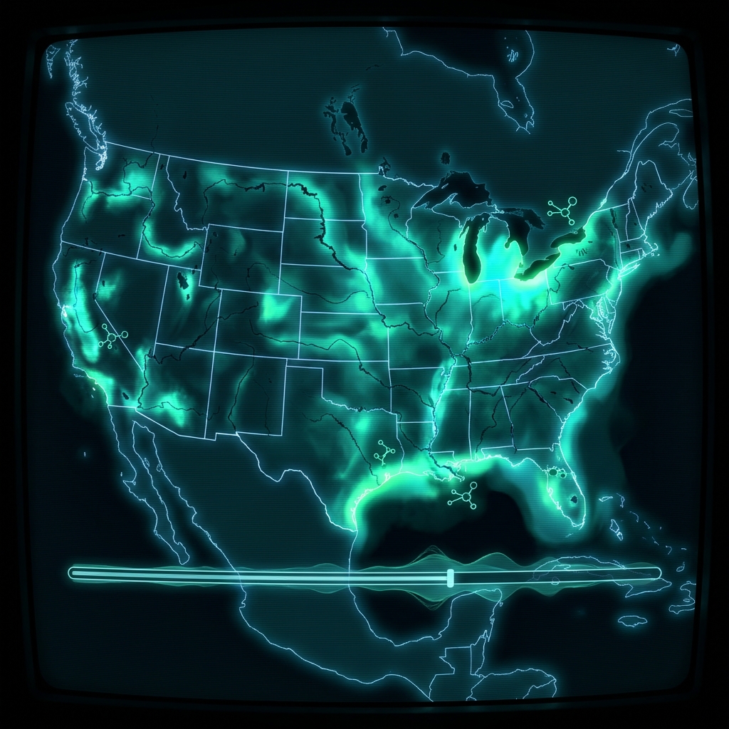 Contiguous U.S. Cyanobacteria ExtentU.S. Environmental Protection Agency
 Mined Land Permits (1974-Present)State of New York
 Basin Characterization Program (Department of Water Resources)State of California
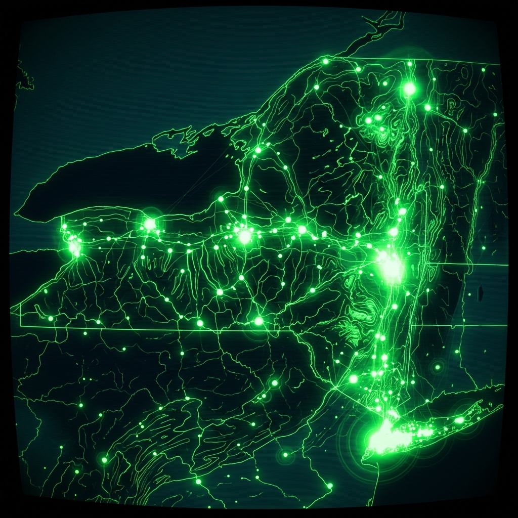 Guides Currently Licensed in New York StateState of New York
 EmbassiesDistrict of Columbia
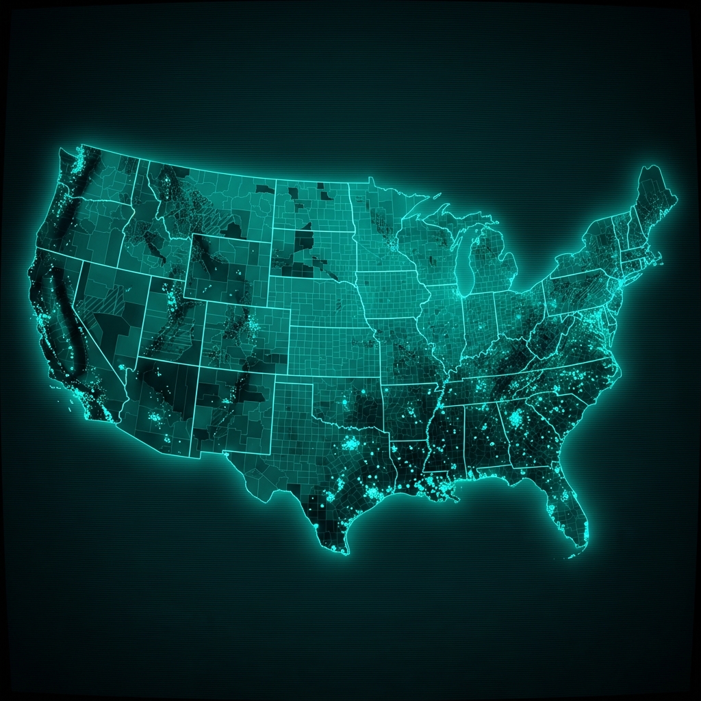 Natural Hazard Vulnerability and RCRA Site LocationsU.S. Environmental Protection Agency
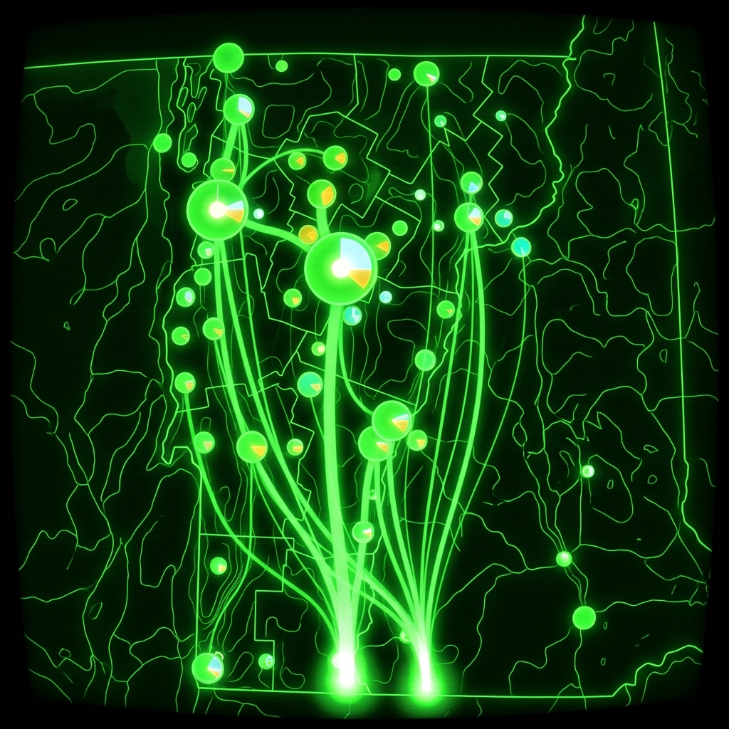 Food Scrap GeneratorsVermont Center for Geographic Information
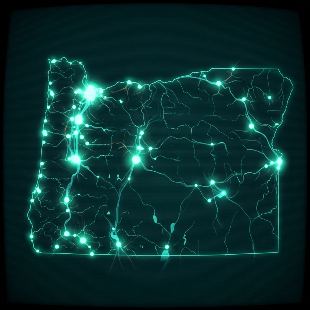 Places of Use - FishState of Oregon
 BLM Non-Energy Leasable Minerals
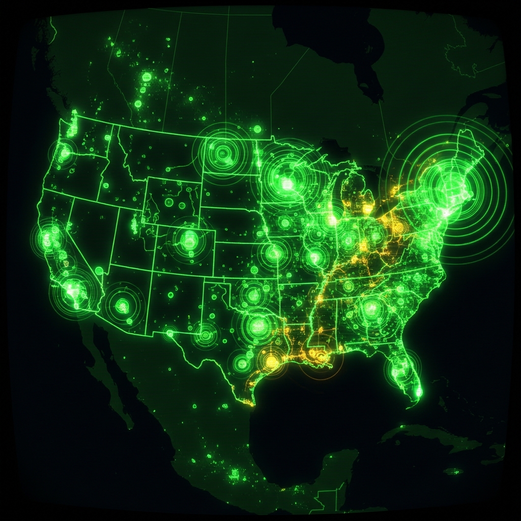 Demand Response Across the Continental USDepartment of Energy